Jaén geodata
Jaén (Cajamarca) is a populated place; located in Peru in America/Lima (GMT-5) time zone. With population of 52,493 people, there are 37 cities with bigger population in this country. Compared to other cities in Peru, 92% of cities are located further ↓South; 88.4% of cities are located further →East and 75.2% of cities have higher elevation than Jaén. Note1


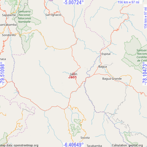
Jaén GPS coordinates[2]
5° 42' 26.244" South, 78° 48' 28.26" West
| Map corner | latitude | longitude |
|---|---|---|
| Upper-left | -5.00724°, | -79.51098° |
| Center: | -5.70729°, | -78.80785° |
| Lower-right: | -6.40649°, | -78.10473° |
| Map W x H: | 155.6×155.6 km | = 96.7×96.7mi |
| max Lat: | -0.96667° ⇑8% North |
| Jaén: | -5.70729° |
| min Lat: | ⇓92% South -18.01465° |
| min Long | Jaén | max Long |
| -81.30472° | -78.80785° | -69.04167° |
| W 11.6%⇐ | ⇒88.4% E |
Elevation
Elevation of Jaén is 730 m = 2395 ft, and this is 1588.7 m = 5212 ft below average elevation for this country.
| Max E: |
5022 m = 16476 ft | 75.2% |
| Avg. | 2318.7 m = 7607 ft | |
| Jaén | 730 m = 2395 ft | |
Min E: |
1 m = 3 ft | 24.8% |
See also: Jaén elevation on elevation.city.
Geographical zone
Jaén is located in South Torrid zone (between Equator and Tropic of Capricorn). Distance of Equator is 634.6 km =394.3 mi to North.| Distance of | km | miles | from Jaén |
|---|---|---|---|
| Equator | 634.6 | 394.3 | to North |
| Tropic Capricorn | 1971.3 | 1224.9 | to South |
| Antarctic Circle | 6766.6 | 4204.6 | to South |
| South Pole | 9372.5 | 5823.8 | to South |


Nearby cities:
15 places around Jaén: (largest is in red/bold)
• Aramango
52.4 km =32.6 mi,  51°
51°
• Bagua
31.4 km =19.5 mi,  74°
74°
• Bagua Grande
40.9 km =25.4 mi,  97°
97°
• Bellavista
15.2 km =9.4 mi, 71°
• Cajaruro
42.4 km =26.3 mi,  94°
94°
• Chirinos
45.8 km =28.5 mi,  347°
347°
• Choros
25 km =15.5 mi,  149°
149°
• Colasay
41.3 km =25.7 mi,  223°
223°
• Cumba
29.8 km =18.5 mi, 147°
• El Parco District
37.9 km =23.5 mi,  75°
75°
• Huabal
16.3 km =10.1 mi,  308°
308°
• La Coipa
31 km =19.3 mi, 348°
• La Peca
42.6 km =26.5 mi, 75°
• La Sacilia
28.6 km =17.8 mi,  161°
161°
• Las Pirias
10.2 km =6.3 mi,  330°
330°
Sources, notices
• [Note1] Compared only with cities in Peru existing in our database
• [Src1] Map data: © OpenStreetMap contributors (CC-BY-SA)
• [Src2] Other city data from geonames.org with taken over terms of usage.
• [Src3] Geographical zone / Annual Mean Temperature by Robert A. Rohde @ Wikipedia
