Uñon geodata
Uñon (Arequipa) is a seat of a third-order administrative division; located in Peru in America/Lima (GMT-5) time zone. In our database, there are 305 cities with bigger population. Compared to other cities in Peru, 92% of cities are located further ↑North; 78.2% of cities are located further ←West and 52.2% of cities have higher elevation than Uñon. Note1


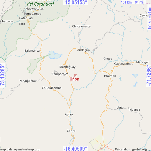
Uñon GPS coordinates[2]
15° 43' 45.984" South, 72° 25' 46.992" West
| Map corner | latitude | longitude |
|---|---|---|
| Upper-left | -15.05153°, | -73.13285° |
| Center: | -15.72944°, | -72.42972° |
| Lower-right: | -16.40509°, | -71.7266° |
| Map W x H: | 150.5×150.5 km | = 93.5×93.5mi |
| max Lat: | -0.96667° ⇑92% North |
| Uñon: | -15.72944° |
| min Lat: | ⇓8% South -18.01465° |
| min Long | Uñon | max Long |
| -81.30472° | -72.42972° | -69.04167° |
| W 78.2%⇐ | ⇒21.8% E |
Elevation
Elevation of Uñon is 2773 m = 9098 ft, and this is 454.3 m = 1490 ft above average elevation for this country.
| Max E: |
5022 m = 16476 ft | 52.2% |
| Uñon | 2773 m 9098 ft | |
| Avg. | 2318.7 m = 7607 ft | |
Min E: |
1 m = 3 ft | 47.8% |
See also: Peru elevation on elevation.city.
Geographical zone
Uñon is located in South Torrid zone (between Equator and Tropic of Capricorn). Distance of this Southern Tropic circle is 857 km =532.5 mi to South.| Distance of | km | miles | from Uñon |
|---|---|---|---|
| Equator | 1748.9 | 1086.7 | to North |
| Tropic Capricorn | 857 | 532.5 | to South |
| Antarctic Circle | 5652.2 | 3512.1 | to South |
| South Pole | 8258.1 | 5131.3 | to South |


Nearby cities:
15 places around Uñon: (largest is in red/bold)
• Andaray
46.7 km =29 mi,  260°
260°
• Aplao
39.1 km =24.3 mi,  190°
190°
• Ayo
17.5 km =10.9 mi,  72°
72°
• Cabanaconde
49.7 km =30.9 mi,  76°
76°
• Choco
36.4 km =22.6 mi,  61°
61°
• Chuquibamba
26.8 km =16.7 mi,  243°
243°
• Corire
55.1 km =34.2 mi,  184°
184°
• Huambo
34.5 km =21.4 mi,  90°
90°
• Huancarqui
41 km =25.5 mi, 186°
• Iray
25.3 km =15.7 mi, 236°
• Lluta
54.6 km =33.9 mi,  125°
125°
• Orcopampa
52.4 km =32.6 mi,  10°
10°
• Pampacolca
15.6 km =9.7 mi,  276°
276°
• Viraco
13 km =8.1 mi,  308°
308°
• Yanaquihua
48.1 km =29.9 mi, 264°
Sources, notices
• [Note1] Compared only with cities in Peru existing in our database
• [Src1] Map data: © OpenStreetMap contributors (CC-BY-SA)
• [Src2] Other city data from geonames.org with taken over terms of usage.
• [Src3] Geographical zone / Annual Mean Temperature by Robert A. Rohde @ Wikipedia
