Pilcomay geodata
Pilcomay (Junin) is a populated place; located in Peru in America/Lima (GMT-5) time zone. With population of 8,169 people, there are 166 cities with bigger population in this country. Compared to other cities in Peru, 53.6% of cities are located further ↑North; 56.3% of cities are located further ←West and 62.1% of cities have lower elevation than Pilcomay. Note1


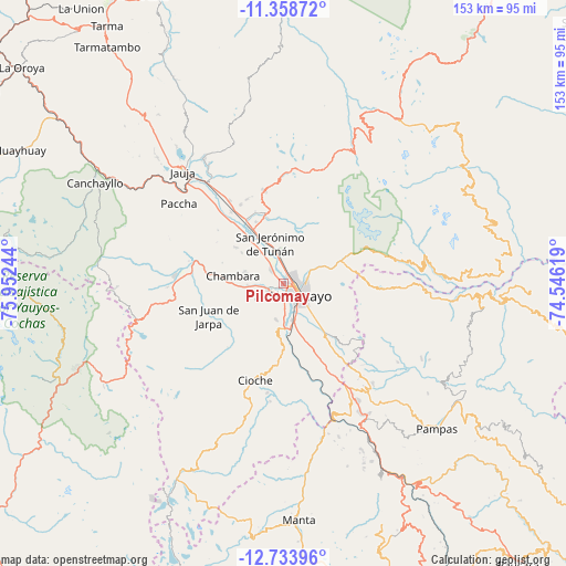
Pilcomay GPS coordinates[2]
12° 2' 49.992" South, 75° 14' 57.516" West
| Map corner | latitude | longitude |
|---|---|---|
| Upper-left | -11.35872°, | -75.95244° |
| Center: | -12.04722°, | -75.24931° |
| Lower-right: | -12.73396°, | -74.54619° |
| Map W x H: | 152.9×152.9 km | = 95×95mi |
| max Lat: | -0.96667° ⇑53.6% North |
| Pilcomay: | -12.04722° |
| min Lat: | ⇓46.4% South -18.01465° |
| min Long | Pilcomay | max Long |
| -81.30472° | -75.24931° | -69.04167° |
| W 56.3%⇐ | ⇒43.7% E |
Elevation
Elevation of Pilcomay is 3205 m = 10515 ft, and this is 886.3 m = 2908 ft above average elevation for this country.
| Max E: |
5022 m = 16476 ft | 37.9% |
| Pilcomay | 3205 m 10515 ft | |
| Avg. | 2318.7 m = 7607 ft | |
Min E: |
1 m = 3 ft | 62.1% |
See also: Peru elevation on elevation.city.
Geographical zone
Pilcomay is located in South Torrid zone (between Equator and Tropic of Capricorn). Distance of this Southern Tropic circle is 1266.4 km =786.9 mi to South.| Distance of | km | miles | from Pilcomay |
|---|---|---|---|
| Equator | 1339.5 | 832.3 | to North |
| Tropic Capricorn | 1266.4 | 786.9 | to South |
| Antarctic Circle | 6061.6 | 3766.5 | to South |
| South Pole | 8667.5 | 5385.7 | to South |


Nearby cities:
15 places around Pilcomay: (largest is in red/bold)
• Ahuac
11.2 km =7 mi,  258°
258°
• Chambara
15 km =9.3 mi,  283°
283°
• Chupaca
4.3 km =2.7 mi,  239°
239°
• El Tambo
4.2 km =2.6 mi,  121°
121°
• Huacrapuquio
15.5 km =9.6 mi,  166°
166°
• Hualhuas
8.4 km =5.2 mi,  359°
359°
• Huancayo
5.2 km =3.2 mi,  112°
112°
• Huayucachi
9.7 km =6 mi, 169°
• Orcotuna
10.8 km =6.7 mi,  323°
323°
• Quilcas
12.4 km =7.7 mi,  354°
354°
• San Agustin
8.4 km =5.2 mi, 355°
• San Jerónimo
10.8 km =6.7 mi,  339°
339°
• Sapallanga
13.5 km =8.4 mi,  147°
147°
• Saño
10.1 km =6.3 mi, 355°
• Sicaya
4 km =2.5 mi,  292°
292°
Sources, notices
• [Note1] Compared only with cities in Peru existing in our database
• [Src1] Map data: © OpenStreetMap contributors (CC-BY-SA)
• [Src2] Other city data from geonames.org with taken over terms of usage.
• [Src3] Geographical zone / Annual Mean Temperature by Robert A. Rohde @ Wikipedia
