Pampas geodata
Pampas (Huancavelica) is a populated place; located in Peru in America/Lima (GMT-5) time zone. With population of 5,521 people, there are 222 cities with bigger population in this country. Compared to other cities in Peru, 56.7% of cities are located further ↑North; 59.6% of cities are located further ←West and 64.6% of cities have lower elevation than Pampas. Note1


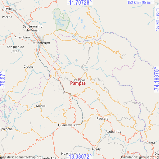
Pampas GPS coordinates[2]
12° 23' 41.64" South, 74° 52' 0.732" West
| Map corner | latitude | longitude |
|---|---|---|
| Upper-left | -11.70728°, | -75.57° |
| Center: | -12.3949°, | -74.86687° |
| Lower-right: | -13.08072°, | -74.16375° |
| Map W x H: | 152.7×152.7 km | = 94.9×94.9mi |
| max Lat: | -0.96667° ⇑56.7% North |
| Pampas: | -12.3949° |
| min Lat: | ⇓43.3% South -18.01465° |
| min Long | Pampas | max Long |
| -81.30472° | -74.86687° | -69.04167° |
| W 59.6%⇐ | ⇒40.4% E |
Elevation
Elevation of Pampas is 3252 m = 10669 ft, and this is 933.3 m = 3062 ft above average elevation for this country.
| Max E: |
5022 m = 16476 ft | 35.4% |
| Pampas | 3252 m 10669 ft | |
| Avg. | 2318.7 m = 7607 ft | |
Min E: |
1 m = 3 ft | 64.6% |
See also: Peru elevation on elevation.city.
Geographical zone
Pampas is located in South Torrid zone (between Equator and Tropic of Capricorn). Distance of this Southern Tropic circle is 1227.7 km =762.9 mi to South.| Distance of | km | miles | from Pampas |
|---|---|---|---|
| Equator | 1378.2 | 856.4 | to North |
| Tropic Capricorn | 1227.7 | 762.9 | to South |
| Antarctic Circle | 6023 | 3742.5 | to South |
| South Pole | 8628.9 | 5361.7 | to South |


Nearby cities:
15 places around Pampas: (largest is in red/bold)
• Acoria
24.7 km =15.3 mi,  184°
184°
• Colca
39.4 km =24.5 mi,  285°
285°
• Colcabamba
18.1 km =11.2 mi,  91°
91°
• Cuenca
18.6 km =11.6 mi,  256°
256°
• Cullhuas
37.2 km =23.1 mi,  298°
298°
• Huaribamba
16.9 km =10.5 mi,  327°
327°
• Huayllahuara
32.6 km =20.3 mi,  269°
269°
• Izcuchaca
19 km =11.8 mi,  238°
238°
• La Esmeralda
39.3 km =24.4 mi,  132°
132°
• Paucarbamba
38.5 km =23.9 mi,  116°
116°
• Pazos
29.1 km =18.1 mi, 299°
• Pilchaca
25.3 km =15.7 mi, 268°
• Salcabamba
23.5 km =14.6 mi,  22°
22°
• Surcubamba
35.3 km =21.9 mi,  34°
34°
• Vilca
35.7 km =22.2 mi,  254°
254°
Sources, notices
• [Note1] Compared only with cities in Peru existing in our database
• [Src1] Map data: © OpenStreetMap contributors (CC-BY-SA)
• [Src2] Other city data from geonames.org with taken over terms of usage.
• [Src3] Geographical zone / Annual Mean Temperature by Robert A. Rohde @ Wikipedia
