Ongoy geodata
Ongoy (Apurímac) is a seat of a third-order administrative division; located in Peru in America/Lima (GMT-5) time zone. In our database, there are 305 cities with bigger population. Compared to other cities in Peru, 65.2% of cities are located further ↑North; 68.7% of cities are located further ←West and 51.2% of cities have higher elevation than Ongoy. Note1


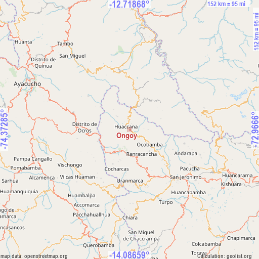
Ongoy GPS coordinates[2]
13° 24' 12.996" South, 73° 40' 10.992" West
| Map corner | latitude | longitude |
|---|---|---|
| Upper-left | -12.71868°, | -74.37285° |
| Center: | -13.40361°, | -73.66972° |
| Lower-right: | -14.08659°, | -72.9666° |
| Map W x H: | 152.1×152.1 km | = 94.5×94.5mi |
| max Lat: | -0.96667° ⇑65.2% North |
| Ongoy: | -13.40361° |
| min Lat: | ⇓34.8% South -18.01465° |
| min Long | Ongoy | max Long |
| -81.30472° | -73.66972° | -69.04167° |
| W 68.7%⇐ | ⇒31.3% E |
Elevation
Elevation of Ongoy is 2805 m = 9203 ft, and this is 486.3 m = 1595 ft above average elevation for this country.
| Max E: |
5022 m = 16476 ft | 51.2% |
| Ongoy | 2805 m 9203 ft | |
| Avg. | 2318.7 m = 7607 ft | |
Min E: |
1 m = 3 ft | 48.8% |
See also: Peru elevation on elevation.city.
Geographical zone
Ongoy is located in South Torrid zone (between Equator and Tropic of Capricorn). Distance of this Southern Tropic circle is 1115.6 km =693.2 mi to South.| Distance of | km | miles | from Ongoy |
|---|---|---|---|
| Equator | 1490.3 | 926 | to North |
| Tropic Capricorn | 1115.6 | 693.2 | to South |
| Antarctic Circle | 5910.8 | 3672.8 | to South |
| South Pole | 8516.7 | 5292 | to South |


Nearby cities:
15 places around Ongoy: (largest is in red/bold)
• Andarapa
35.5 km =22.1 mi,  112°
112°
• Carhuanca
39.8 km =24.7 mi,  198°
198°
• Chilcas
36.4 km =22.6 mi,  315°
315°
• Chincheros
14 km =8.7 mi, 203°
• Chungui
21.3 km =13.2 mi,  14°
14°
• Cocharcas
24.2 km =15 mi, 198°
• Huaccana
2.8 km =1.7 mi,  309°
309°
• Ocobamba
14.6 km =9.1 mi,  126°
126°
• Ocros
26.6 km =16.5 mi,  272°
272°
• Pampas
31.1 km =19.3 mi, 308°
• Ranracancha
16 km =9.9 mi,  154°
154°
• Saurama
33.6 km =20.9 mi, 196°
• Talavera
38 km =23.6 mi,  136°
136°
• Uripa
14.4 km =8.9 mi,  183°
183°
• Vischongo
40.7 km =25.3 mi,  239°
239°
Sources, notices
• [Note1] Compared only with cities in Peru existing in our database
• [Src1] Map data: © OpenStreetMap contributors (CC-BY-SA)
• [Src2] Other city data from geonames.org with taken over terms of usage.
• [Src3] Geographical zone / Annual Mean Temperature by Robert A. Rohde @ Wikipedia
