Callanca geodata
Callanca (Cusco) is a populated place; located in Peru in America/Lima (GMT-5) time zone. With population of 4,046 people, there are 267 cities with bigger population in this country. Compared to other cities in Peru, 77.9% of cities are located further ↑North; 89.4% of cities are located further ←West and 95.1% of cities have lower elevation than Callanca. Note1


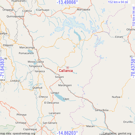
Callanca GPS coordinates[2]
14° 10' 52.932" South, 71° 8' 26.52" West
| Map corner | latitude | longitude |
|---|---|---|
| Upper-left | -13.49866°, | -71.84383° |
| Center: | -14.18137°, | -71.1407° |
| Lower-right: | -14.86203°, | -70.43758° |
| Map W x H: | 151.6×151.6 km | = 94.2×94.2mi |
| max Lat: | -0.96667° ⇑77.9% North |
| Callanca: | -14.18137° |
| min Lat: | ⇓22.1% South -18.01465° |
| min Long | Callanca | max Long |
| -81.30472° | -71.1407° | -69.04167° |
| W 89.4%⇐ | ⇒10.6% E |
Elevation
Elevation of Callanca is 4036 m = 13241 ft, and this is 1717.3 m = 5634 ft above average elevation for this country.
| Max E: |
5022 m = 16476 ft | 4.9% |
| Callanca | 4036 m 13241 ft | |
| Avg. | 2318.7 m = 7607 ft | |
Min E: |
1 m = 3 ft | 95.1% |
See also: Peru elevation on elevation.city.
Geographical zone
Callanca is located in South Torrid zone (between Equator and Tropic of Capricorn). Distance of this Southern Tropic circle is 1029.1 km =639.5 mi to South.| Distance of | km | miles | from Callanca |
|---|---|---|---|
| Equator | 1576.8 | 979.8 | to North |
| Tropic Capricorn | 1029.1 | 639.5 | to South |
| Antarctic Circle | 5824.4 | 3619.1 | to South |
| South Pole | 8430.2 | 5238.3 | to South |


Nearby cities:
15 places around Callanca: (largest is in red/bold)
• Ccuntuma
29.9 km =18.6 mi,  282°
282°
• Cullcuyre
22.8 km =14.2 mi,  295°
295°
• Huayna Alcalde
11 km =6.8 mi,  153°
153°
• Jayobamba
23.5 km =14.6 mi,  294°
294°
• Langui
31.3 km =19.4 mi,  207°
207°
• Lima Pampa
23.5 km =14.6 mi, 295°
• Maranganí
19.7 km =12.2 mi,  188°
188°
• Mosoc Cancha
12.9 km =8 mi, 153°
• Qquea
30 km =18.6 mi, 298°
• Queromarca
26.2 km =16.3 mi,  269°
269°
• San Pablo
19 km =11.8 mi,  262°
262°
• San Pedro
21.7 km =13.5 mi, 268°
• Sicuani
13.4 km =8.3 mi,  223°
223°
• Tinta
29 km =18 mi, 278°
• Yanaoca
31.6 km =19.6 mi, 262°
Sources, notices
• [Note1] Compared only with cities in Peru existing in our database
• [Src1] Map data: © OpenStreetMap contributors (CC-BY-SA)
• [Src2] Other city data from geonames.org with taken over terms of usage.
• [Src3] Geographical zone / Annual Mean Temperature by Robert A. Rohde @ Wikipedia
