Sagpon geodata
Sagpon (Bicol) is a populated place; located in Philippines in Asia/Manila (GMT+8) time zone. With population of 6,849 people, there are 912 cities with bigger population in this country. Compared to other cities in Philippines, 58.5% of cities are located further ↓South; 66.3% of cities are located further ←West and 62.8% of cities have higher elevation than Sagpon. Note1


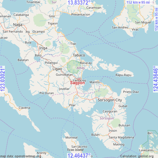
Sagpon GPS coordinates[2]
13° 9' 0" North, 123° 43' 59.988" East
| Map corner | latitude | longitude |
|---|---|---|
| Upper-left | 13.83372°, | 123.03021° |
| Center: | 13.15°, | 123.73333° |
| Lower-right: | 12.46437°, | 124.43646° |
| Map W x H: | 152.3×152.3 km | = 94.6×94.6mi |
| max Lat: | 20.78733° ⇑41.5% North |
| Sagpon: | 13.15° |
| min Lat: | ⇓58.5% South 4.65442° |
| min Long | Sagpon | max Long |
| 117.04868° | 123.73333° | 126.58417° |
| W 66.3%⇐ | ⇒33.7% E |
Elevation
Elevation of Sagpon is 15 m = 49 ft, and this is 72.9 m = 239 ft below average elevation for this country.
| Max E: |
2262 m = 7421 ft | 62.8% |
| Avg. | 87.9 m = 288 ft | |
| Sagpon | 15 m = 49 ft | |
Min E: |
-2 m = -7 ft | 37.2% |
See also: Philippines elevation on elevation.city.
Geographical zone
Sagpon is located in North Torrid zone (between Equator and Tropic of Cancer). Distance of this Northern Tropic circle is 1143.8 km =710.7 mi to North.| Distance of | km | miles | from Sagpon |
|---|---|---|---|
| North Pole | 8544.9 | 5309.6 | to North |
| Arctic Circle | 5939 | 3690.3 | to North |
| Tropic Cancer | 1143.8 | 710.7 | to North |
| Equator | 1462.1 | 908.5 | to South |


Nearby cities:
15 places around Sagpon: (largest is in red/bold)
• Barayong
5.8 km =3.6 mi,  197°
197°
• Bariw
1.9 km =1.2 mi,  180°
180°
• Bascaron
6.4 km =4 mi,  214°
214°
• Bigaa
6 km =3.7 mi,  24°
24°
• Cabognon
7 km =4.3 mi,  301°
301°
• Cotmon
8.4 km =5.2 mi,  244°
244°
• Daraga
2.3 km =1.4 mi,  265°
265°
• Lacag
5.7 km =3.5 mi,  275°
275°
• Legaspi
1.3 km =0.8 mi,  140°
140°
• Malabog
5.7 km =3.5 mi, 297°
• Maslog
6.5 km =4 mi, 140°
• Padang
8.5 km =5.3 mi, 24°
• Pawa
3.1 km =1.9 mi,  353°
353°
• San Roque
2.3 km =1.4 mi,  76°
76°
• Tagas
2.6 km =1.6 mi,  315°
315°
Sources, notices
• [Note1] Compared only with cities in Philippines existing in our database
• [Src1] Map data: © OpenStreetMap contributors (CC-BY-SA)
• [Src2] Other city data from geonames.org with taken over terms of usage.
• [Src3] Geographical zone / Annual Mean Temperature by Robert A. Rohde @ Wikipedia
