Pulungmasle geodata
Pulungmasle (Central Luzon) is a populated place; located in Philippines in Asia/Manila (GMT+8) time zone. With population of 9,277 people, there are 662 cities with bigger population in this country. Compared to other cities in Philippines, 77.5% of cities are located further ↓South; 89.4% of cities are located further →East and 52.3% of cities have lower elevation than Pulungmasle. Note1


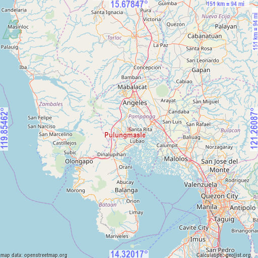
Pulungmasle GPS coordinates[2]
15° 0' 1.44" North, 120° 33' 27.864" East
| Map corner | latitude | longitude |
|---|---|---|
| Upper-left | 15.67847°, | 119.85462° |
| Center: | 15.0004°, | 120.55774° |
| Lower-right: | 14.32017°, | 121.26087° |
| Map W x H: | 151×151 km | = 93.8×93.8mi |
| max Lat: | 20.78733° ⇑22.5% North |
| Pulungmasle: | 15.0004° |
| min Lat: | ⇓77.5% South 4.65442° |
| min Long | Pulungmasle | max Long |
| 117.04868° | 120.55774° | 126.58417° |
| W 10.6%⇐ | ⇒89.4% E |
Elevation
Elevation of Pulungmasle is 25 m = 82 ft, and this is 62.9 m = 206 ft below average elevation for this country.
| Max E: |
2262 m = 7421 ft | 47.7% |
| Avg. | 87.9 m = 288 ft | |
| Pulungmasle | 25 m = 82 ft | |
Min E: |
-2 m = -7 ft | 52.3% |
See also: Philippines elevation on elevation.city.
Geographical zone
Pulungmasle is located in North Torrid zone (between Equator and Tropic of Cancer). Distance of this Northern Tropic circle is 938 km =582.8 mi to North.| Distance of | km | miles | from Pulungmasle |
|---|---|---|---|
| North Pole | 8339.2 | 5181.7 | to North |
| Arctic Circle | 5733.3 | 3562.5 | to North |
| Tropic Cancer | 938 | 582.8 | to North |
| Equator | 1667.9 | 1036.4 | to South |


Nearby cities:
15 places around Pulungmasle: (largest is in red/bold)
• Balas
6.3 km =3.9 mi,  28°
28°
• Calantas
4.8 km =3 mi,  296°
296°
• Del Carmen
2.6 km =1.6 mi,  282°
282°
• Floridablanca
4 km =2.5 mi,  230°
230°
• Maquiapo
1.6 km =1 mi,  176°
176°
• Pias
1.9 km =1.2 mi,  15°
15°
• Pio
6.7 km =4.2 mi,  321°
321°
• Pulung Santol
5.1 km =3.2 mi,  5°
5°
• San Agustin
5.3 km =3.3 mi,  102°
102°
• San Antonio
6.9 km =4.3 mi,  122°
122°
• San Basilio
4.6 km =2.9 mi,  37°
37°
• San Francisco
4.5 km =2.8 mi,  197°
197°
• San Roque Dau First
3.3 km =2.1 mi,  141°
141°
• Santa Rita
5.8 km =3.6 mi,  91°
91°
• Santo Domingo
3.9 km =2.4 mi, 181°
Sources, notices
• [Note1] Compared only with cities in Philippines existing in our database
• [Src1] Map data: © OpenStreetMap contributors (CC-BY-SA)
• [Src2] Other city data from geonames.org with taken over terms of usage.
• [Src3] Geographical zone / Annual Mean Temperature by Robert A. Rohde @ Wikipedia
