Santa Rita geodata
Santa Rita (Central Luzon) is a seat of a third-order administrative division; located in Philippines in Asia/Manila (GMT+8) time zone. With population of 4,990 people, there are 1301 cities with bigger population in this country. Compared to other cities in Philippines, 77.5% of cities are located further ↓South; 87.7% of cities are located further →East and 73.2% of cities have higher elevation than Santa Rita. Note1
Administrative division(s):
- Level 1: Central Luzon
- Level 2: Province of Pampanga
- Level 3: Santa Rita


Santa Rita GPS coordinates[2]
14° 59' 57.48" North, 120° 36' 42.12" East
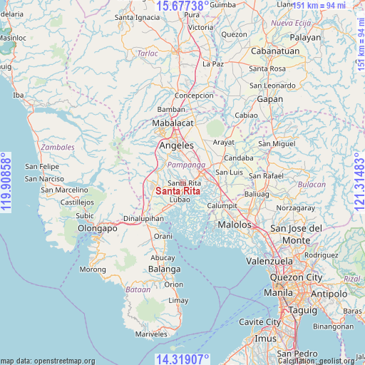
| Map corner | latitude | longitude |
|---|---|---|
| Upper-left | 15.67738°, | 119.90858° |
| Center: | 14.9993°, | 120.6117° |
| Lower-right: | 14.31907°, | 121.31483° |
| Map W x H: | 151×151 km | = 93.8×93.8mi |
| max Lat: | 20.78733° ⇑22.5% North |
| Santa Rita: | 14.9993° |
| min Lat: | ⇓77.5% South 4.65442° |
| min Long | Santa Rita | max Long |
| 117.04868° | 120.6117° | 126.58417° |
| W 12.3%⇐ | ⇒87.7% E |
Elevation
Elevation of Santa Rita is 11 m = 36 ft, and this is 76.9 m = 252 ft below average elevation for this country.
| Max E: |
2262 m = 7421 ft | 73.2% |
| Avg. | 87.9 m = 288 ft | |
| Santa Rita | 11 m = 36 ft | |
Min E: |
-2 m = -7 ft | 26.8% |
See also: Philippines elevation on elevation.city.
Geographical zone
Santa Rita is located in North Torrid zone (between Equator and Tropic of Cancer). Distance of this Northern Tropic circle is 938.2 km =583 mi to North.| Distance of | km | miles | from Santa Rita |
|---|---|---|---|
| North Pole | 8339.3 | 5181.8 | to North |
| Arctic Circle | 5733.4 | 3562.6 | to North |
| Tropic Cancer | 938.2 | 583 | to North |
| Equator | 1667.8 | 1036.3 | to South |


Nearby cities:
15 places around Santa Rita: (largest is in red/bold)
• Bacolor
4.3 km =2.7 mi,  88°
88°
• Balas
6.3 km =3.9 mi,  334°
334°
• Guagua
4.4 km =2.7 mi,  149°
149°
• Lubao
6.6 km =4.1 mi,  189°
189°
• Magliman
6.9 km =4.3 mi,  54°
54°
• Maquiapo
5.9 km =3.7 mi,  255°
255°
• Pias
5.7 km =3.5 mi,  290°
290°
• Pulung Santol
7.4 km =4.6 mi,  313°
313°
• Pulungmasle
5.8 km =3.6 mi,  271°
271°
• San Agustin
1.2 km =0.7 mi,  211°
211°
• San Antonio
3.6 km =2.2 mi,  179°
179°
• San Basilio
4.8 km =3 mi,  322°
322°
• San Roque Dau First
4.5 km =2.8 mi,  236°
236°
• Santo Domingo
7 km =4.3 mi, 237°
• Sexmoan
6.3 km =3.9 mi,  168°
168°
Sources, notices
• [Note1] Compared only with cities in Philippines existing in our database
• [Src1] Map data: © OpenStreetMap contributors (CC-BY-SA)
• [Src2] Other city data from geonames.org with taken over terms of usage.
• [Src3] Geographical zone / Annual Mean Temperature by Robert A. Rohde @ Wikipedia
