Malabon geodata
Malabon (Central Luzon) is a populated place; located in Philippines in Asia/Manila (GMT+8) time zone. With population of 2,640 people, there are 3047 cities with bigger population in this country. Compared to other cities in Philippines, 83.2% of cities are located further ↓South; 97.6% of cities are located further →East and 80.7% of cities have higher elevation than Malabon. Note1
Administrative division(s):
- Level 1: Central Luzon
- Level 2: Province of Zambales
- Level 3: Candelaria


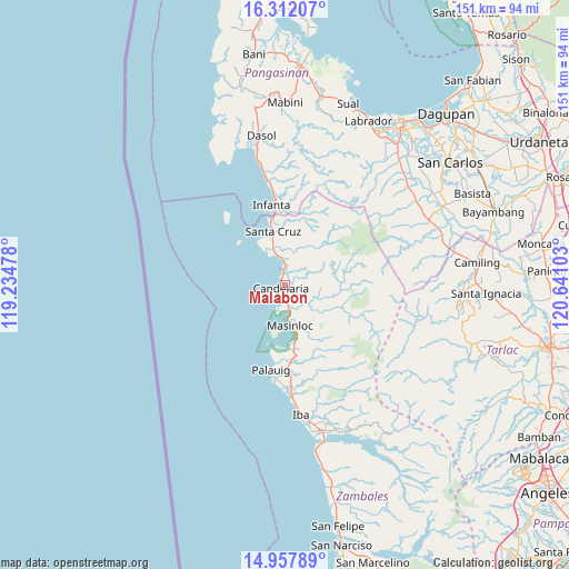
Malabon GPS coordinates[2]
15° 38' 9.96" North, 119° 56' 16.44" East
| Map corner | latitude | longitude |
|---|---|---|
| Upper-left | 16.31207°, | 119.23478° |
| Center: | 15.6361°, | 119.9379° |
| Lower-right: | 14.95789°, | 120.64103° |
| Map W x H: | 150.6×150.6 km | = 93.6×93.6mi |
| max Lat: | 20.78733° ⇑16.8% North |
| Malabon: | 15.6361° |
| min Lat: | ⇓83.2% South 4.65442° |
| min Long | Malabon | max Long |
| 117.04868° | 119.9379° | 126.58417° |
| W 2.4%⇐ | ⇒97.6% E |
Elevation
Elevation of Malabon is 9 m = 30 ft, and this is 78.9 m = 259 ft below average elevation for this country.
| Max E: |
2262 m = 7421 ft | 80.7% |
| Avg. | 87.9 m = 288 ft | |
| Malabon | 9 m = 30 ft | |
Min E: |
-2 m = -7 ft | 19.3% |
See also: Philippines elevation on elevation.city.
Geographical zone
Malabon is located in North Torrid zone (between Equator and Tropic of Cancer). Distance of this Northern Tropic circle is 867.3 km =538.9 mi to North.| Distance of | km | miles | from Malabon |
|---|---|---|---|
| North Pole | 8268.5 | 5137.8 | to North |
| Arctic Circle | 5662.6 | 3518.6 | to North |
| Tropic Cancer | 867.3 | 538.9 | to North |
| Equator | 1738.6 | 1080.3 | to South |


Nearby cities:
15 places around Malabon: (largest is in red/bold)
• Bani
6 km =3.7 mi,  184°
184°
• Biay
12 km =7.5 mi,  343°
343°
• Bolitoc
13.2 km =8.2 mi,  330°
330°
• Cato
22.4 km =13.9 mi,  353°
353°
• Guisguis
17.9 km =11.1 mi,  13°
13°
• Infanta
21.4 km =13.3 mi, 351°
• Lipay
20.1 km =12.5 mi,  185°
185°
• Lucapon
7.1 km =4.4 mi, 354°
• Masinloc
11.2 km =7 mi,  173°
173°
• Palauig
22.6 km =14 mi, 189°
• Salaza
20.3 km =12.6 mi, 174°
• San Lorenzo
16.9 km =10.5 mi, 171°
• Santa Cruz
14.7 km =9.1 mi, 347°
• Taltal
5.4 km =3.4 mi, 171°
• Uacon
4.7 km =2.9 mi,  3°
3°
Sources, notices
• [Note1] Compared only with cities in Philippines existing in our database
• [Src1] Map data: © OpenStreetMap contributors (CC-BY-SA)
• [Src2] Other city data from geonames.org with taken over terms of usage.
• [Src3] Geographical zone / Annual Mean Temperature by Robert A. Rohde @ Wikipedia
