Gulod geodata
Gulod (Calabarzon) is a populated place; located in Philippines in Asia/Manila (GMT+8) time zone. With population of 2,705 people, there are 2936 cities with bigger population in this country. Compared to other cities in Philippines, 67% of cities are located further ↓South; 87% of cities are located further →East and 51.1% of cities have lower elevation than Gulod. Note1


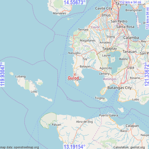
Gulod GPS coordinates[2]
13° 52' 30.504" North, 120° 38' 0.924" East
| Map corner | latitude | longitude |
|---|---|---|
| Upper-left | 14.55673°, | 119.93047° |
| Center: | 13.87514°, | 120.63359° |
| Lower-right: | 13.19154°, | 121.33672° |
| Map W x H: | 151.8×151.8 km | = 94.3×94.3mi |
| max Lat: | 20.78733° ⇑33% North |
| Gulod: | 13.87514° |
| min Lat: | ⇓67% South 4.65442° |
| min Long | Gulod | max Long |
| 117.04868° | 120.63359° | 126.58417° |
| W 13%⇐ | ⇒87% E |
Elevation
Elevation of Gulod is 24 m = 79 ft, and this is 63.9 m = 210 ft below average elevation for this country.
| Max E: |
2262 m = 7421 ft | 48.9% |
| Avg. | 87.9 m = 288 ft | |
| Gulod | 24 m = 79 ft | |
Min E: |
-2 m = -7 ft | 51.1% |
See also: Philippines elevation on elevation.city.
Geographical zone
Gulod is located in North Torrid zone (between Equator and Tropic of Cancer). Distance of this Northern Tropic circle is 1063.1 km =660.6 mi to North.| Distance of | km | miles | from Gulod |
|---|---|---|---|
| North Pole | 8464.3 | 5259.5 | to North |
| Arctic Circle | 5858.4 | 3640.2 | to North |
| Tropic Cancer | 1063.1 | 660.6 | to North |
| Equator | 1542.8 | 958.7 | to South |


Nearby cities:
15 places around Gulod: (largest is in red/bold)
• Balayan
12.7 km =7.9 mi,  57°
57°
• Balibago
5.7 km =3.5 mi,  351°
351°
• Balitoc
1.4 km =0.9 mi,  171°
171°
• Biga
3.6 km =2.2 mi,  27°
27°
• Binubusan
10.5 km =6.5 mi,  1°
1°
• Bungahan
8.1 km =5 mi,  22°
22°
• Calantas
18.6 km =11.6 mi,  54°
54°
• Calatagan
4.8 km =3 mi,  181°
181°
• Hukay
8.2 km =5.1 mi,  114°
114°
• Lian
17.7 km =11 mi,  5°
5°
• Lucsuhin
1.1 km =0.7 mi, 48°
• Malaruhatan
18 km =11.2 mi, 16°
• Prinza
13.7 km =8.5 mi, 9°
• Putol
16.5 km =10.3 mi,  37°
37°
• Talisay
4.6 km =2.9 mi, 345°
Sources, notices
• [Note1] Compared only with cities in Philippines existing in our database
• [Src1] Map data: © OpenStreetMap contributors (CC-BY-SA)
• [Src2] Other city data from geonames.org with taken over terms of usage.
• [Src3] Geographical zone / Annual Mean Temperature by Robert A. Rohde @ Wikipedia
