Giawang geodata
Giawang (Central Visayas) is a populated place; located in Philippines in Asia/Manila (GMT+8) time zone. With population of 2,652 people, there are 3024 cities with bigger population in this country. Compared to other cities in Philippines, 70.4% of cities are located further ↑North; 79% of cities are located further ←West and 53.1% of cities have higher elevation than Giawang. Note1


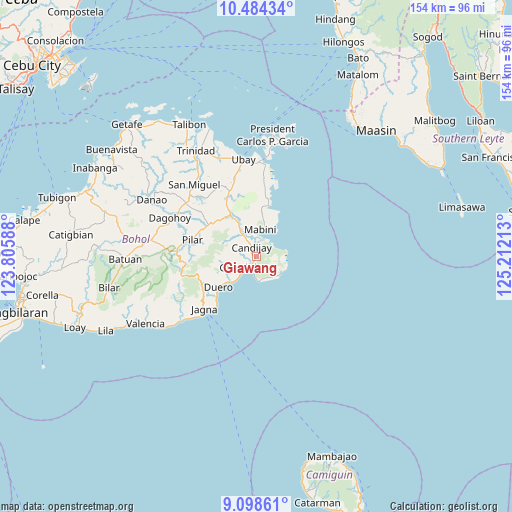
Giawang GPS coordinates[2]
9° 47' 31.92" North, 124° 30' 32.4" East
| Map corner | latitude | longitude |
|---|---|---|
| Upper-left | 10.48434°, | 123.80588° |
| Center: | 9.7922°, | 124.509° |
| Lower-right: | 9.09861°, | 125.21213° |
| Map W x H: | 154.1×154.1 km | = 95.8×95.8mi |
| max Lat: | 20.78733° ⇑70.4% North |
| Giawang: | 9.7922° |
| min Lat: | ⇓29.6% South 4.65442° |
| min Long | Giawang | max Long |
| 117.04868° | 124.509° | 126.58417° |
| W 79%⇐ | ⇒21% E |
Elevation
Elevation of Giawang is 21 m = 69 ft, and this is 66.9 m = 219 ft below average elevation for this country.
| Max E: |
2262 m = 7421 ft | 53.1% |
| Avg. | 87.9 m = 288 ft | |
| Giawang | 21 m = 69 ft | |
Min E: |
-2 m = -7 ft | 46.9% |
See also: Philippines elevation on elevation.city.
Geographical zone
Giawang is located in North Torrid zone (between Equator and Tropic of Cancer). Distance of Equator is 1088.8 km =676.5 mi to South.| Distance of | km | miles | from Giawang |
|---|---|---|---|
| North Pole | 8918.3 | 5541.6 | to North |
| Arctic Circle | 6312.4 | 3922.3 | to North |
| Tropic Cancer | 1517.1 | 942.7 | to North |
| Equator | 1088.8 | 676.5 | to South |


Nearby cities:
15 places around Giawang: (largest is in red/bold)
• Abaca
14.3 km =8.9 mi,  358°
358°
• Alicia
13.6 km =8.5 mi,  327°
327°
• Anda
9 km =5.6 mi,  124°
124°
• Bacong
8.5 km =5.3 mi,  133°
133°
• Biabas
4.7 km =2.9 mi,  280°
280°
• Candabong
7.2 km =4.5 mi,  153°
153°
• Candijay
3.1 km =1.9 mi,  336°
336°
• Canhaway
6.2 km =3.9 mi,  220°
220°
• Catungawan Sur
4.5 km =2.8 mi,  254°
254°
• Cogtong
5.5 km =3.4 mi,  23°
23°
• Duero
14.6 km =9.1 mi,  230°
230°
• Guindulman
4 km =2.5 mi, 215°
• La Hacienda
16.2 km =10.1 mi,  307°
307°
• Lombog
10.1 km =6.3 mi,  261°
261°
• Mabini
8.2 km =5.1 mi,  9°
9°
Sources, notices
• [Note1] Compared only with cities in Philippines existing in our database
• [Src1] Map data: © OpenStreetMap contributors (CC-BY-SA)
• [Src2] Other city data from geonames.org with taken over terms of usage.
• [Src3] Geographical zone / Annual Mean Temperature by Robert A. Rohde @ Wikipedia
