Gandara geodata
Gandara (Eastern Visayas) is a seat of a third-order administrative division; located in Philippines in Asia/Manila (GMT+8) time zone. With population of 3,982 people, there are 1739 cities with bigger population in this country. Compared to other cities in Philippines, 51.8% of cities are located further ↓South; 84.8% of cities are located further ←West and 80.7% of cities have higher elevation than Gandara. Note1


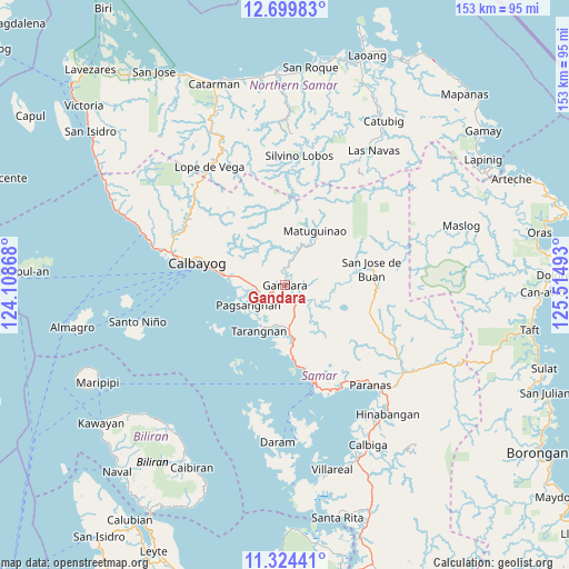
Gandara GPS coordinates[2]
12° 0' 46.8" North, 124° 48' 42.48" East
| Map corner | latitude | longitude |
|---|---|---|
| Upper-left | 12.69983°, | 124.10868° |
| Center: | 12.013°, | 124.8118° |
| Lower-right: | 11.32441°, | 125.51493° |
| Map W x H: | 152.9×152.9 km | = 95×95mi |
| max Lat: | 20.78733° ⇑48.2% North |
| Gandara: | 12.013° |
| min Lat: | ⇓51.8% South 4.65442° |
| min Long | Gandara | max Long |
| 117.04868° | 124.8118° | 126.58417° |
| W 84.8%⇐ | ⇒15.2% E |
Elevation
Elevation of Gandara is 9 m = 30 ft, and this is 78.9 m = 259 ft below average elevation for this country.
| Max E: |
2262 m = 7421 ft | 80.7% |
| Avg. | 87.9 m = 288 ft | |
| Gandara | 9 m = 30 ft | |
Min E: |
-2 m = -7 ft | 19.3% |
See also: Philippines elevation on elevation.city.
Geographical zone
Gandara is located in North Torrid zone (between Equator and Tropic of Cancer). Distance of this Northern Tropic circle is 1270.2 km =789.3 mi to North.| Distance of | km | miles | from Gandara |
|---|---|---|---|
| North Pole | 8671.3 | 5388.1 | to North |
| Arctic Circle | 6065.5 | 3768.9 | to North |
| Tropic Cancer | 1270.2 | 789.3 | to North |
| Equator | 1335.7 | 830 | to South |


Nearby cities:
15 places around Gandara: (largest is in red/bold)
• Calape
24.1 km =15 mi,  108°
108°
• Calbayog City
24.2 km =15 mi,  284°
284°
• Catbalogan
27.6 km =17.1 mi,  162°
162°
• Jiabong
31.8 km =19.8 mi,  151°
151°
• Napuro
11.4 km =7.1 mi, 278°
• Pagsanghan
11.2 km =7 mi,  241°
241°
• Pangdan
32 km =19.9 mi, 159°
• Sabang
30.2 km =18.8 mi, 283°
• San Jorge
3.8 km =2.4 mi, 159°
• San Jose de Buan
23.6 km =14.7 mi,  79°
79°
• San Policarpio
27.1 km =16.8 mi, 283°
• Santa Margarita
17 km =10.6 mi, 279°
• Silanga
21.9 km =13.6 mi,  171°
171°
• Silvino Lobos
32 km =19.9 mi,  4°
4°
• Tarangnan
14.4 km =8.9 mi,  209°
209°
Sources, notices
• [Note1] Compared only with cities in Philippines existing in our database
• [Src1] Map data: © OpenStreetMap contributors (CC-BY-SA)
• [Src2] Other city data from geonames.org with taken over terms of usage.
• [Src3] Geographical zone / Annual Mean Temperature by Robert A. Rohde @ Wikipedia
