Cervantes geodata
Cervantes (Ilocos) is a seat of a third-order administrative division; located in Philippines in Asia/Manila (GMT+8) time zone. With population of 3,099 people, there are 2416 cities with bigger population in this country. Compared to other cities in Philippines, 93.5% of cities are located further ↓South; 83.9% of cities are located further →East and 96% of cities have lower elevation than Cervantes. Note1


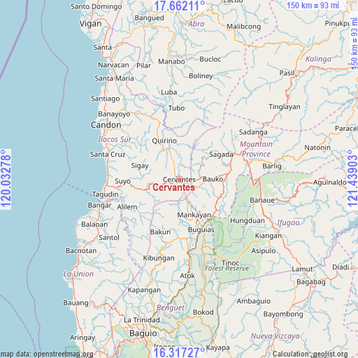
Cervantes GPS coordinates[2]
16° 59' 27.24" North, 120° 44' 9.24" East
| Map corner | latitude | longitude |
|---|---|---|
| Upper-left | 17.66211°, | 120.03278° |
| Center: | 16.9909°, | 120.7359° |
| Lower-right: | 16.31727°, | 121.43903° |
| Map W x H: | 149.5×149.5 km | = 92.9×92.9mi |
| max Lat: | 20.78733° ⇑6.5% North |
| Cervantes: | 16.9909° |
| min Lat: | ⇓93.5% South 4.65442° |
| min Long | Cervantes | max Long |
| 117.04868° | 120.7359° | 126.58417° |
| W 16.1%⇐ | ⇒83.9% E |
Elevation
Elevation of Cervantes is 502 m = 1647 ft, and this is 414.1 m = 1359 ft above average elevation for this country.
| Max E: |
2262 m = 7421 ft | 4% |
| Cervantes | 502 m 1647 ft | |
| Avg. | 87.9 m = 288 ft | |
Min E: |
-2 m = -7 ft | 96% |
See also: Philippines elevation on elevation.city.
Geographical zone
Cervantes is located in North Torrid zone (between Equator and Tropic of Cancer). Distance of this Northern Tropic circle is 716.7 km =445.3 mi to North.| Distance of | km | miles | from Cervantes |
|---|---|---|---|
| North Pole | 8117.9 | 5044.2 | to North |
| Arctic Circle | 5512 | 3425 | to North |
| Tropic Cancer | 716.7 | 445.3 | to North |
| Equator | 1889.2 | 1173.9 | to South |


Nearby cities:
15 places around Cervantes: (largest is in red/bold)
• Bauko
14 km =8.7 mi,  90°
90°
• Besao
17.4 km =10.8 mi,  48°
48°
• Bulalacao
18.9 km =11.7 mi,  155°
155°
• Comillas Norte
3.7 km =2.3 mi, 161°
• Gregorio del Pilar
20.3 km =12.6 mi,  319°
319°
• Guinsadan
14.4 km =8.9 mi,  101°
101°
• Mankayan
15.1 km =9.4 mi, 160°
• Monamon
19.7 km =12.2 mi,  127°
127°
• Quirino
19.6 km =12.2 mi,  339°
339°
• Sabangan
20 km =12.4 mi, 85°
• Sadsadan
15.3 km =9.5 mi,  114°
114°
• Sagada
20.2 km =12.6 mi,  59°
59°
• Sigay
17.7 km =11 mi,  305°
305°
• Tabio
17.1 km =10.6 mi, 156°
• Tadian
9 km =5.6 mi, 86°
Sources, notices
• [Note1] Compared only with cities in Philippines existing in our database
• [Src1] Map data: © OpenStreetMap contributors (CC-BY-SA)
• [Src2] Other city data from geonames.org with taken over terms of usage.
• [Src3] Geographical zone / Annual Mean Temperature by Robert A. Rohde @ Wikipedia
