Butag geodata
Butag (Bicol) is a populated place; located in Philippines in Asia/Manila (GMT+8) time zone. With population of 2,833 people, there are 2735 cities with bigger population in this country. Compared to other cities in Philippines, 55.8% of cities are located further ↓South; 69.8% of cities are located further ←West and 92.7% of cities have higher elevation than Butag. Note1


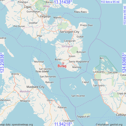
Butag GPS coordinates[2]
12° 37' 45.12" North, 123° 56' 0.6" East
| Map corner | latitude | longitude |
|---|---|---|
| Upper-left | 13.31438°, | 123.23038° |
| Center: | 12.6292°, | 123.9335° |
| Lower-right: | 11.94218°, | 124.63663° |
| Map W x H: | 152.6×152.6 km | = 94.8×94.8mi |
| max Lat: | 20.78733° ⇑44.2% North |
| Butag: | 12.6292° |
| min Lat: | ⇓55.8% South 4.65442° |
| min Long | Butag | max Long |
| 117.04868° | 123.9335° | 126.58417° |
| W 69.8%⇐ | ⇒30.2% E |
Elevation
Elevation of Butag is 6 m = 20 ft, and this is 81.9 m = 269 ft below average elevation for this country.
| Max E: |
2262 m = 7421 ft | 92.7% |
| Avg. | 87.9 m = 288 ft | |
| Butag | 6 m = 20 ft | |
Min E: |
-2 m = -7 ft | 7.3% |
See also: Philippines elevation on elevation.city.
Geographical zone
Butag is located in North Torrid zone (between Equator and Tropic of Cancer). Distance of this Northern Tropic circle is 1201.7 km =746.7 mi to North.| Distance of | km | miles | from Butag |
|---|---|---|---|
| North Pole | 8602.8 | 5345.5 | to North |
| Arctic Circle | 5996.9 | 3726.3 | to North |
| Tropic Cancer | 1201.7 | 746.7 | to North |
| Equator | 1404.2 | 872.5 | to South |


Nearby cities:
15 places around Butag: (largest is in red/bold)
• Bulan
7.9 km =4.9 mi,  306°
306°
• Caditaan
21.6 km =13.4 mi,  334°
334°
• Gabao
11.9 km =7.4 mi,  24°
24°
• Guruyan
12.2 km =7.6 mi,  2°
2°
• Irosin
13.3 km =8.3 mi,  53°
53°
• Lajong
23 km =14.3 mi,  9°
9°
• Matnog
17.3 km =10.7 mi,  105°
105°
• Monbon
14.6 km =9.1 mi,  39°
39°
• Quezon
3.7 km =2.3 mi,  151°
151°
• Sabang
11.6 km =7.2 mi,  359°
359°
• San Francisco
11 km =6.8 mi,  344°
344°
• San Jacinto
22.7 km =14.1 mi,  252°
252°
• San Roque
20.4 km =12.7 mi, 53°
• Santa Magdalena
19.2 km =11.9 mi,  83°
83°
• Utabi
3 km =1.9 mi,  297°
297°
Sources, notices
• [Note1] Compared only with cities in Philippines existing in our database
• [Src1] Map data: © OpenStreetMap contributors (CC-BY-SA)
• [Src2] Other city data from geonames.org with taken over terms of usage.
• [Src3] Geographical zone / Annual Mean Temperature by Robert A. Rohde @ Wikipedia
