Aramayuan geodata
Aramayuan (Mimaropa) is a populated place; located in Philippines in Asia/Manila (GMT+8) time zone. With population of 3,487 people, there are 2062 cities with bigger population in this country. Compared to other cities in Philippines, 74.7% of cities are located further ↑North; 99.4% of cities are located further →East and 92.7% of cities have higher elevation than Aramayuan. Note1


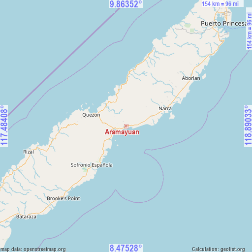
Aramayuan GPS coordinates[2]
9° 10' 12.288" North, 118° 11' 13.92" East
| Map corner | latitude | longitude |
|---|---|---|
| Upper-left | 9.86352°, | 117.48408° |
| Center: | 9.17008°, | 118.1872° |
| Lower-right: | 8.47528°, | 118.89033° |
| Map W x H: | 154.4×154.4 km | = 95.9×95.9mi |
| max Lat: | 20.78733° ⇑74.7% North |
| Aramayuan: | 9.17008° |
| min Lat: | ⇓25.3% South 4.65442° |
| min Long | Aramayuan | max Long |
| 117.04868° | 118.1872° | 126.58417° |
| W 0.6%⇐ | ⇒99.4% E |
Elevation
Elevation of Aramayuan is 6 m = 20 ft, and this is 81.9 m = 269 ft below average elevation for this country.
| Max E: |
2262 m = 7421 ft | 92.7% |
| Avg. | 87.9 m = 288 ft | |
| Aramayuan | 6 m = 20 ft | |
Min E: |
-2 m = -7 ft | 7.3% |
See also: Philippines elevation on elevation.city.
Geographical zone
Aramayuan is located in North Torrid zone (between Equator and Tropic of Cancer). Distance of Equator is 1019.6 km =633.5 mi to South.| Distance of | km | miles | from Aramayuan |
|---|---|---|---|
| North Pole | 8987.4 | 5584.5 | to North |
| Arctic Circle | 6381.6 | 3965.3 | to North |
| Tropic Cancer | 1586.3 | 985.7 | to North |
| Equator | 1019.6 | 633.5 | to South |


Nearby cities:
15 places around Aramayuan: (largest is in red/bold)
• Aramawayan
19.4 km =12.1 mi,  351°
351°
• Bunog
44.6 km =27.7 mi,  265°
265°
• Burirao
10.1 km =6.3 mi,  289°
289°
• Calatugas
4 km =2.5 mi,  91°
91°
• Iraray
24.7 km =15.3 mi,  217°
217°
• Isugod
20.4 km =12.7 mi,  338°
338°
• Labog
19.7 km =12.2 mi,  229°
229°
• Narra
26.2 km =16.3 mi,  65°
65°
• Panacan
25.7 km =16 mi, 70°
• Panitian
13.8 km =8.6 mi, 233°
• Plaridel
41.6 km =25.8 mi,  56°
56°
• Punang
22.8 km =14.2 mi, 221°
• Quezon
18.8 km =11.7 mi, 294°
• Tabon
22.5 km =14 mi, 289°
• Tagusao
41 km =25.5 mi, 273°
Sources, notices
• [Note1] Compared only with cities in Philippines existing in our database
• [Src1] Map data: © OpenStreetMap contributors (CC-BY-SA)
• [Src2] Other city data from geonames.org with taken over terms of usage.
• [Src3] Geographical zone / Annual Mean Temperature by Robert A. Rohde @ Wikipedia
