Tagusao geodata
Tagusao (Mimaropa) is a populated place; located in Philippines in Asia/Manila (GMT+8) time zone. With population of 2,961 people, there are 2577 cities with bigger population in this country. Compared to other cities in Philippines, 74.7% of cities are located further ↑North; 99.8% of cities are located further →East and 85.4% of cities have higher elevation than Tagusao. Note1


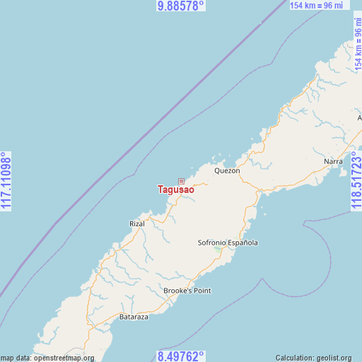
Tagusao GPS coordinates[2]
9° 11' 32.568" North, 117° 48' 50.76" East
| Map corner | latitude | longitude |
|---|---|---|
| Upper-left | 9.88578°, | 117.11098° |
| Center: | 9.19238°, | 117.8141° |
| Lower-right: | 8.49762°, | 118.51723° |
| Map W x H: | 154.3×154.4 km | = 95.9×95.9mi |
| max Lat: | 20.78733° ⇑74.7% North |
| Tagusao: | 9.19238° |
| min Lat: | ⇓25.3% South 4.65442° |
| min Long | Tagusao | max Long |
| 117.04868° | 117.8141° | 126.58417° |
| W 0.2%⇐ | ⇒99.8% E |
Elevation
Elevation of Tagusao is 8 m = 26 ft, and this is 79.9 m = 262 ft below average elevation for this country.
| Max E: |
2262 m = 7421 ft | 85.4% |
| Avg. | 87.9 m = 288 ft | |
| Tagusao | 8 m = 26 ft | |
Min E: |
-2 m = -7 ft | 14.6% |
See also: Philippines elevation on elevation.city.
Geographical zone
Tagusao is located in North Torrid zone (between Equator and Tropic of Cancer). Distance of Equator is 1022.1 km =635.1 mi to South.| Distance of | km | miles | from Tagusao |
|---|---|---|---|
| North Pole | 8985 | 5583 | to North |
| Arctic Circle | 6379.1 | 3963.8 | to North |
| Tropic Cancer | 1583.8 | 984.1 | to North |
| Equator | 1022.1 | 635.1 | to South |


Nearby cities:
15 places around Tagusao: (largest is in red/bold)
• Aramayuan
41 km =25.5 mi,  93°
93°
• Barong Barong
38.7 km =24 mi,  166°
166°
• Bunog
6.8 km =4.2 mi,  211°
211°
• Burirao
31.4 km =19.5 mi, 88°
• Eraan
19 km =11.8 mi,  220°
220°
• Ipilan
40.1 km =24.9 mi, 165°
• Iraray
34.1 km =21.2 mi,  130°
130°
• Isugod
37.4 km =23.2 mi,  63°
63°
• Labog
30 km =18.6 mi,  120°
120°
• Mainit
38.8 km =24.1 mi,  179°
179°
• Panitian
31.7 km =19.7 mi,  109°
109°
• Punang
32.4 km =20.1 mi, 127°
• Quezon
24.5 km =15.2 mi,  77°
77°
• Ransang
36.2 km =22.5 mi, 224°
• Tabon
20.5 km =12.7 mi, 75°
Sources, notices
• [Note1] Compared only with cities in Philippines existing in our database
• [Src1] Map data: © OpenStreetMap contributors (CC-BY-SA)
• [Src2] Other city data from geonames.org with taken over terms of usage.
• [Src3] Geographical zone / Annual Mean Temperature by Robert A. Rohde @ Wikipedia
