Binuang geodata
Binuang (Autonomous Region in Muslim Mindanao) is a populated place; located in Philippines in Asia/Manila (GMT+8) time zone. With population of 3,159 people, there are 2343 cities with bigger population in this country. Compared to other cities in Philippines, 98.2% of cities are located further ↑North; 74.9% of cities are located further →East and 84.4% of cities have lower elevation than Binuang. Note1
Administrative division(s):
- Level 1: Autonomous Region in Muslim Mindanao
- Level 2: Province of Sulu
- Level 3: Talipao


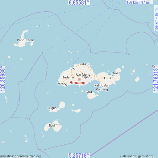
Binuang GPS coordinates[2]
5° 57' 24.984" North, 121° 3' 36" East
| Map corner | latitude | longitude |
|---|---|---|
| Upper-left | 6.65581°, | 120.35688° |
| Center: | 5.95694°, | 121.06° |
| Lower-right: | 5.25718°, | 121.76313° |
| Map W x H: | 155.5×155.5 km | = 96.6×96.6mi |
| max Lat: | 20.78733° ⇑98.2% North |
| Binuang: | 5.95694° |
| min Lat: | ⇓1.8% South 4.65442° |
| min Long | Binuang | max Long |
| 117.04868° | 121.06° | 126.58417° |
| W 25.1%⇐ | ⇒74.9% E |
Elevation
Elevation of Binuang is 127 m = 417 ft, and this is 39.1 m = 128 ft above average elevation for this country.
| Max E: |
2262 m = 7421 ft | 15.6% |
| Binuang | 127 m 417 ft | |
| Avg. | 87.9 m = 288 ft | |
Min E: |
-2 m = -7 ft | 84.4% |
See also: Philippines elevation on elevation.city.
Geographical zone
Binuang is located in North Torrid zone (between Equator and Tropic of Cancer). Distance of Equator is 662.3 km =411.5 mi to South.| Distance of | km | miles | from Binuang |
|---|---|---|---|
| North Pole | 9344.7 | 5806.5 | to North |
| Arctic Circle | 6738.8 | 4187.3 | to North |
| Tropic Cancer | 1943.6 | 1207.7 | to North |
| Equator | 662.3 | 411.5 | to South |


Nearby cities:
15 places around Binuang: (largest is in red/bold)
• Anuling
10.5 km =6.5 mi,  325°
325°
• Bangkal
12.2 km =7.6 mi,  3°
3°
• Baunu-Timbangan
9.1 km =5.7 mi,  306°
306°
• Jolo
12.4 km =7.7 mi, 328°
• Kajatian
11.2 km =7 mi,  317°
317°
• Kulase
12.8 km =8 mi,  243°
243°
• Langpas
12.4 km =7.7 mi,  279°
279°
• Mahala
9.3 km =5.8 mi,  118°
118°
• Maimbung
4.7 km =2.9 mi, 235°
• Marsada
5.9 km =3.7 mi, 118°
• Mauboh
5.2 km =3.2 mi,  45°
45°
• Panabuan
10.8 km =6.7 mi,  272°
272°
• Pandakan
12.2 km =7.6 mi,  73°
73°
• Talipao
6.6 km =4.1 mi, 70°
• Talipaw
6.5 km =4 mi,  143°
143°
Sources, notices
• [Note1] Compared only with cities in Philippines existing in our database
• [Src1] Map data: © OpenStreetMap contributors (CC-BY-SA)
• [Src2] Other city data from geonames.org with taken over terms of usage.
• [Src3] Geographical zone / Annual Mean Temperature by Robert A. Rohde @ Wikipedia
