Pasay geodata
Pasay (Eastern Visayas) is a populated place; located in Philippines in Asia/Manila (GMT+8) time zone. With population of 900 people, there are 4164 cities with bigger population in this country. Compared to other cities in Philippines, 67.3% of cities are located further ↑North; 86.2% of cities are located further ←West and 80.7% of cities have higher elevation than Pasay. Note1
Administrative division(s):
- Level 1: Eastern Visayas
- Level 2: Province of Southern Leyte
- Level 3: City of Maasin


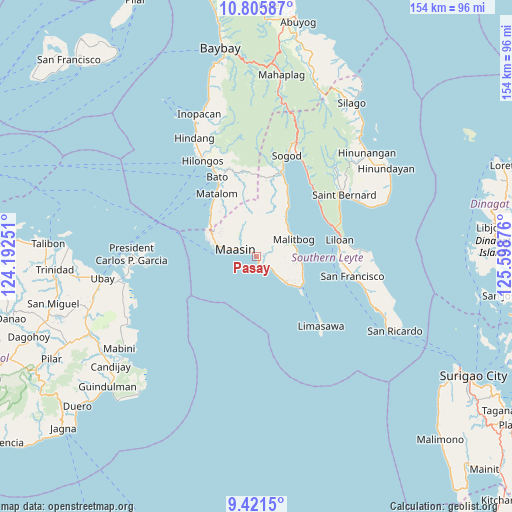
Pasay GPS coordinates[2]
10° 6' 51.948" North, 124° 53' 44.268" East
| Map corner | latitude | longitude |
|---|---|---|
| Upper-left | 10.80587°, | 124.19251° |
| Center: | 10.11443°, | 124.89563° |
| Lower-right: | 9.4215°, | 125.59876° |
| Map W x H: | 153.9×153.9 km | = 95.6×95.6mi |
| max Lat: | 20.78733° ⇑67.3% North |
| Pasay: | 10.11443° |
| min Lat: | ⇓32.7% South 4.65442° |
| min Long | Pasay | max Long |
| 117.04868° | 124.89563° | 126.58417° |
| W 86.2%⇐ | ⇒13.8% E |
Elevation
Elevation of Pasay is 9 m = 30 ft, and this is 78.9 m = 259 ft below average elevation for this country.
| Max E: |
2262 m = 7421 ft | 80.7% |
| Avg. | 87.9 m = 288 ft | |
| Pasay | 9 m = 30 ft | |
Min E: |
-2 m = -7 ft | 19.3% |
See also: Philippines elevation on elevation.city.
Geographical zone
Pasay is located in North Torrid zone (between Equator and Tropic of Cancer). Distance of Equator is 1124.6 km =698.8 mi to South.| Distance of | km | miles | from Pasay |
|---|---|---|---|
| North Pole | 8882.4 | 5519.3 | to North |
| Arctic Circle | 6276.6 | 3900.1 | to North |
| Tropic Cancer | 1481.3 | 920.4 | to North |
| Equator | 1124.6 | 698.8 | to South |


Nearby cities:
15 places around Pasay: (largest is in red/bold)
• Anahawan
25.5 km =15.8 mi,  355°
355°
• Bato
26.3 km =16.3 mi,  334°
334°
• Bontoc
28 km =17.4 mi,  16°
16°
• Ibarra
1.7 km =1.1 mi,  312°
312°
• Ichon
2.3 km =1.4 mi,  162°
162°
• Libagon
27.1 km =16.8 mi,  40°
40°
• Liloan
24.8 km =15.4 mi,  78°
78°
• Maasin
6 km =3.7 mi,  290°
290°
• Macrohon
6.5 km =4 mi,  126°
126°
• Malitbog
12.4 km =7.7 mi,  65°
65°
• Matalom
22.2 km =13.8 mi, 327°
• Padre Burgos
16 km =9.9 mi,  122°
122°
• Santa Fe
19.2 km =11.9 mi,  315°
315°
• Santa Paz
20.9 km =13 mi, 324°
• Tomas Oppus
17.9 km =11.1 mi,  32°
32°
Sources, notices
• [Note1] Compared only with cities in Philippines existing in our database
• [Src1] Map data: © OpenStreetMap contributors (CC-BY-SA)
• [Src2] Other city data from geonames.org with taken over terms of usage.
• [Src3] Geographical zone / Annual Mean Temperature by Robert A. Rohde @ Wikipedia
