Bato geodata
Bato (Eastern Visayas) is a seat of a third-order administrative division; located in Philippines in Asia/Manila (GMT+8) time zone. With population of 9,952 people, there are 612 cities with bigger population in this country. Compared to other cities in Philippines, 64.8% of cities are located further ↑North; 84.2% of cities are located further ←West and 92.7% of cities have higher elevation than Bato. Note1


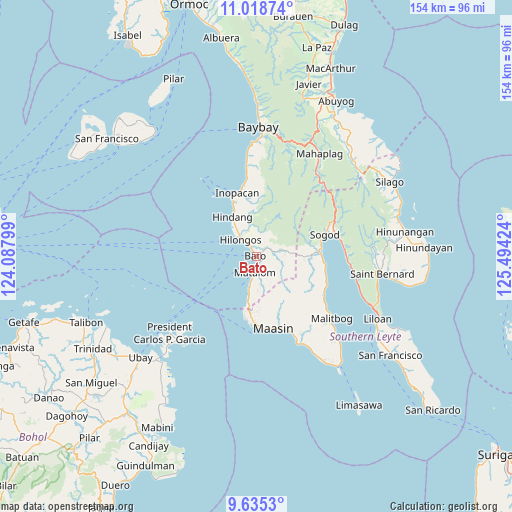
Bato GPS coordinates[2]
10° 19' 40.008" North, 124° 47' 27.996" East
| Map corner | latitude | longitude |
|---|---|---|
| Upper-left | 11.01874°, | 124.08799° |
| Center: | 10.32778°, | 124.79111° |
| Lower-right: | 9.6353°, | 125.49424° |
| Map W x H: | 153.8×153.8 km | = 95.6×95.6mi |
| max Lat: | 20.78733° ⇑64.8% North |
| Bato: | 10.32778° |
| min Lat: | ⇓35.2% South 4.65442° |
| min Long | Bato | max Long |
| 117.04868° | 124.79111° | 126.58417° |
| W 84.2%⇐ | ⇒15.8% E |
Elevation
Elevation of Bato is 6 m = 20 ft, and this is 81.9 m = 269 ft below average elevation for this country.
| Max E: |
2262 m = 7421 ft | 92.7% |
| Avg. | 87.9 m = 288 ft | |
| Bato | 6 m = 20 ft | |
Min E: |
-2 m = -7 ft | 7.3% |
See also: Philippines elevation on elevation.city.
Geographical zone
Bato is located in North Torrid zone (between Equator and Tropic of Cancer). Distance of Equator is 1148.3 km =713.5 mi to South.| Distance of | km | miles | from Bato |
|---|---|---|---|
| North Pole | 8858.7 | 5504.5 | to North |
| Arctic Circle | 6252.8 | 3885.3 | to North |
| Tropic Cancer | 1457.6 | 905.7 | to North |
| Equator | 1148.3 | 713.5 | to South |


Nearby cities:
15 places around Bato: (largest is in red/bold)
• Anahawan
9.7 km =6 mi,  79°
79°
• Bontoc
19.8 km =12.3 mi, 81°
• Concepcion
8.7 km =5.4 mi,  354°
354°
• Doos
16.7 km =10.4 mi,  336°
336°
• Hilongos
6.9 km =4.3 mi,  318°
318°
• Hindang
13.6 km =8.5 mi,  330°
330°
• Ibarra
24.8 km =15.4 mi,  155°
155°
• Lamak
9.8 km =6.1 mi, 324°
• Maasin
22.4 km =13.9 mi, 164°
• Matalom
5 km =3.1 mi,  184°
184°
• Santa Fe
10.3 km =6.4 mi,  191°
191°
• Santa Paz
6.8 km =4.2 mi, 187°
• Sogod
21.8 km =13.5 mi,  73°
73°
• Tabonoc
2.7 km =1.7 mi,  21°
21°
• Tomas Oppus
22.7 km =14.1 mi,  112°
112°
Sources, notices
• [Note1] Compared only with cities in Philippines existing in our database
• [Src1] Map data: © OpenStreetMap contributors (CC-BY-SA)
• [Src2] Other city data from geonames.org with taken over terms of usage.
• [Src3] Geographical zone / Annual Mean Temperature by Robert A. Rohde @ Wikipedia
