Bartolo geodata
Bartolo (Río Grande) is a populated place; located in Puerto Rico in America/Puerto_Rico (GMT-4) time zone. With population of 1,260 people, there are 191 cities with bigger population in this country. Compared to other cities in Puerto Rico, 66.7% of cities are located further ↓South; 89.3% of cities are located further ←West and 55.1% of cities have lower elevation than Bartolo. Note1


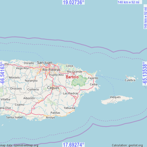
Bartolo GPS coordinates[2]
18° 21' 40.824" North, 65° 50' 18.6" West
| Map corner | latitude | longitude |
|---|---|---|
| Upper-left | 19.02736°, | -66.54163° |
| Center: | 18.36134°, | -65.8385° |
| Lower-right: | 17.69274°, | -65.13538° |
| Map W x H: | 148.4×148.4 km | = 92.2×92.2mi |
| max Lat: | 18.50078° ⇑33.3% North |
| Bartolo: | 18.36134° |
| min Lat: | ⇓66.7% South 17.95358° |
| min Long | Bartolo | max Long |
| -67.2499° | -65.8385° | -65.30099° |
| W 89.3%⇐ | ⇒10.7% E |
Elevation
Elevation of Bartolo is 60 m = 197 ft, and this is 40.5 m = 133 ft below average elevation for this country.
| Max E: |
655 m = 2149 ft | 44.9% |
| Avg. | 100.5 m = 330 ft | |
| Bartolo | 60 m = 197 ft | |
Min E: |
1 m = 3 ft | 55.1% |
See also: Puerto Rico elevation on elevation.city.
Geographical zone
Bartolo is located in North Torrid zone (between Equator and Tropic of Cancer). Distance of this Northern Tropic circle is 564.3 km =350.6 mi to North.| Distance of | km | miles | from Bartolo |
|---|---|---|---|
| North Pole | 7965.5 | 4949.5 | to North |
| Arctic Circle | 5359.6 | 3330.3 | to North |
| Tropic Cancer | 564.3 | 350.6 | to North |
| Equator | 2041.6 | 1268.6 | to South |


Nearby cities:
15 places around Bartolo: (largest is in red/bold)
• Benitez
10.7 km =6.6 mi,  203°
203°
• Campo Rico
6.8 km =4.2 mi,  246°
246°
• Canovanas
6.6 km =4.1 mi,  283°
283°
• Carolina
12.7 km =7.9 mi, 279°
• Hato Candal
5.6 km =3.5 mi,  75°
75°
• La Dolores
2.4 km =1.5 mi,  310°
310°
• Lomas
12.7 km =7.9 mi,  215°
215°
• Loíza
8.9 km =5.5 mi,  330°
330°
• Palmer
6.9 km =4.3 mi, 81°
• Playa Fortuna
10.1 km =6.3 mi, 78°
• Río Grande
2.2 km =1.4 mi,  19°
19°
• San Isidro
6 km =3.7 mi,  304°
304°
• Santa Barbara
9.2 km =5.7 mi,  292°
292°
• Suárez
7.8 km =4.8 mi,  348°
348°
• Vieques
7.1 km =4.4 mi,  4°
4°
Sources, notices
• [Note1] Compared only with cities in Puerto Rico existing in our database
• [Src1] Map data: © OpenStreetMap contributors (CC-BY-SA)
• [Src2] Other city data from geonames.org with taken over terms of usage.
• [Src3] Geographical zone / Annual Mean Temperature by Robert A. Rohde @ Wikipedia
