Río Grande geodata
Río Grande is a seat of a first-order administrative division; located in Puerto Rico in America/Puerto_Rico (GMT-4) time zone. With population of 13,467 people, there are 21 cities with bigger population in this country. Compared to other cities in Puerto Rico, 72.4% of cities are located further ↓South; 90.7% of cities are located further ←West and 77.8% of cities have higher elevation than Río Grande. Note1


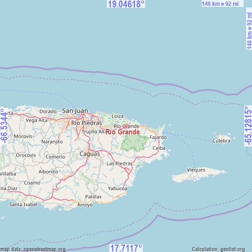
Río Grande GPS coordinates[2]
18° 22' 48.828" North, 65° 49' 52.572" West
| Map corner | latitude | longitude |
|---|---|---|
| Upper-left | 19.04618°, | -66.5344° |
| Center: | 18.38023°, | -65.83127° |
| Lower-right: | 17.7117°, | -65.12815° |
| Map W x H: | 148.4×148.4 km | = 92.2×92.2mi |
| max Lat: | 18.50078° ⇑27.6% North |
| Río Grande: | 18.38023° |
| min Lat: | ⇓72.4% South 17.95358° |
| min Long | Río Grande | max Long |
| -67.2499° | -65.83127° | -65.30099° |
| W 90.7%⇐ | ⇒9.3% E |
Elevation
Elevation of Río Grande is 16 m = 52 ft, and this is 84.5 m = 277 ft below average elevation for this country.
| Max E: |
655 m = 2149 ft | 77.8% |
| Avg. | 100.5 m = 330 ft | |
| Río Grande | 16 m = 52 ft | |
Min E: |
1 m = 3 ft | 22.2% |
See also: Puerto Rico elevation on elevation.city.
Geographical zone
Río Grande is located in North Torrid zone (between Equator and Tropic of Cancer). Distance of this Northern Tropic circle is 562.2 km =349.3 mi to North.| Distance of | km | miles | from Río Grande |
|---|---|---|---|
| North Pole | 7963.4 | 4948.2 | to North |
| Arctic Circle | 5357.5 | 3329 | to North |
| Tropic Cancer | 562.2 | 349.3 | to North |
| Equator | 2043.7 | 1269.9 | to South |


Nearby cities:
15 places around Río Grande: (largest is in red/bold)
• Bartolo
2.2 km =1.4 mi,  199°
199°
• Benitez
12.9 km =8 mi, 203°
• Campo Rico
8.5 km =5.3 mi,  235°
235°
• Canovanas
7.2 km =4.5 mi,  265°
265°
• Hato Candal
4.7 km =2.9 mi,  97°
97°
• La Dolores
2.6 km =1.6 mi,  258°
258°
• Loíza
7.7 km =4.8 mi,  317°
317°
• Luquillo
12.1 km =7.5 mi,  94°
94°
• Palmer
6.1 km =3.8 mi, 100°
• Playa Fortuna
9.1 km =5.7 mi, 90°
• Ramos
13.3 km =8.3 mi,  109°
109°
• San Isidro
5.9 km =3.7 mi,  283°
283°
• Santa Barbara
9.4 km =5.8 mi, 279°
• Suárez
6 km =3.7 mi,  337°
337°
• Vieques
5 km =3.1 mi,  357°
357°
Sources, notices
• [Note1] Compared only with cities in Puerto Rico existing in our database
• [Src1] Map data: © OpenStreetMap contributors (CC-BY-SA)
• [Src2] Other city data from geonames.org with taken over terms of usage.
• [Src3] Geographical zone / Annual Mean Temperature by Robert A. Rohde @ Wikipedia
