Samouco geodata
Samouco (District of Setúbal) is a populated place; located in Portugal in Europe/Lisbon (GMT+1) time zone. With population of 3,143 people, there are 582 cities with bigger population in this country. Compared to other cities in Portugal, 72.7% of cities are located further ↑North; 74.1% of cities are located further →East and 94.1% of cities have higher elevation than Samouco. Note1


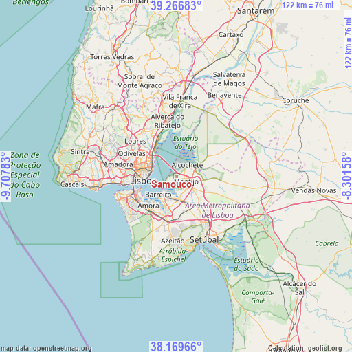
Samouco GPS coordinates[2]
38° 43' 13.26" North, 9° 0' 16.956" West
| Map corner | latitude | longitude |
|---|---|---|
| Upper-left | 39.26683°, | -9.70783° |
| Center: | 38.72035°, | -9.00471° |
| Lower-right: | 38.16966°, | -8.30158° |
| Map W x H: | 122×122 km | = 75.8×75.8mi |
| max Lat: | 42.11337° ⇑72.7% North |
| Samouco: | 38.72035° |
| min Lat: | ⇓27.3% South 32.6448° |
| min Long | Samouco | max Long |
| -31.17847° | -9.00471° | -6.27308° |
| W 25.9%⇐ | ⇒74.1% E |
Elevation
Elevation of Samouco is 11 m = 36 ft, and this is 166 m = 545 ft below average elevation for this country.
| Max E: |
1008 m = 3307 ft | 94.1% |
| Avg. | 177 m = 581 ft | |
| Samouco | 11 m = 36 ft | |
Min E: |
-128 m = -420 ft | 5.9% |
See also: Portugal elevation on elevation.city.
Geographical zone
Samouco is located in North temperate zone (between Tropic of Cancer and the Arctic Circle). Distance of this Northern Tropic circle is 1699.4 km =1056 mi to South.| Distance of | km | miles | from Samouco |
|---|---|---|---|
| North Pole | 5701.8 | 3542.9 | to North |
| Arctic Circle | 3095.9 | 1923.7 | to North |
| Tropic Cancer | 1699.4 | 1056 | to South |
| Equator | 4305.3 | 2675.2 | to South |


Nearby cities:
15 places around Samouco: (largest is in red/bold)
• Alcochete
5.4 km =3.4 mi,  44°
44°
• Alhos Vedros
7.5 km =4.7 mi,  192°
192°
• Barreiro
8.7 km =5.4 mi,  222°
222°
• Beato António
8.7 km =5.4 mi,  279°
279°
• Lavradio
7.1 km =4.4 mi, 215°
• Lisbon
11.2 km =7 mi,  267°
267°
• Moita
7.8 km =4.8 mi,  170°
170°
• Montijo
3.1 km =1.9 mi,  119°
119°
• Moscavide e Portela
10.7 km =6.6 mi,  307°
307°
• Olivais
10.4 km =6.5 mi,  301°
301°
• Rosairinho
4.8 km =3 mi,  183°
183°
• Sacavém
12 km =7.5 mi, 311°
• Santo António da Charneca
10.8 km =6.7 mi, 191°
• Sarilhos Pequenos
4.7 km =2.9 mi,  155°
155°
• Seixal
12.3 km =7.6 mi, 223°
Sources, notices
• [Note1] Compared only with cities in Portugal existing in our database
• [Src1] Map data: © OpenStreetMap contributors (CC-BY-SA)
• [Src2] Other city data from geonames.org with taken over terms of usage.
• [Src3] Geographical zone / Annual Mean Temperature by Robert A. Rohde @ Wikipedia
