Praia da Graciosa geodata
Praia da Graciosa (Azores) is a populated place; located in Portugal in Atlantic/Azores (GMT+0) time zone. With population of 836 people, there are 779 cities with bigger population in this country. Compared to other cities in Portugal, 63.6% of cities are located further ↑North; 98% of cities are located further →East and 97.4% of cities have higher elevation than Praia da Graciosa. Note1


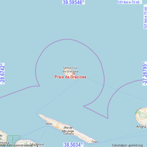
Praia da Graciosa GPS coordinates[2]
39° 3' 5.544" North, 27° 58' 15.852" West
| Map corner | latitude | longitude |
|---|---|---|
| Upper-left | 39.59546°, | -28.6742° |
| Center: | 39.05154°, | -27.97107° |
| Lower-right: | 38.5034°, | -27.26795° |
| Map W x H: | 121.4×121.4 km | = 75.4×75.4mi |
| max Lat: | 42.11337° ⇑63.6% North |
| Praia da Graciosa: | 39.05154° |
| min Lat: | ⇓36.4% South 32.6448° |
| min Long | Praia da Gracio | max Long |
| -31.17847° | -27.97107° | -6.27308° |
| W 2%⇐ | ⇒98% E |
Elevation
Elevation of Praia da Graciosa is 7 m = 23 ft, and this is 170 m = 558 ft below average elevation for this country.
| Max E: |
1008 m = 3307 ft | 97.4% |
| Avg. | 177 m = 581 ft | |
| Praia da Graciosa | 7 m = 23 ft | |
Min E: |
-128 m = -420 ft | 2.6% |
See also: Portugal elevation on elevation.city.
Geographical zone
Praia da Graciosa is located in North temperate zone (between Tropic of Cancer and the Arctic Circle). Distance of this Northern Tropic circle is 1736.2 km =1078.8 mi to South.| Distance of | km | miles | from Praia da Graciosa |
|---|---|---|---|
| North Pole | 5664.9 | 3520 | to North |
| Arctic Circle | 3059 | 1900.8 | to North |
| Tropic Cancer | 1736.2 | 1078.8 | to South |
| Equator | 4342.1 | 2698.1 | to South |


Nearby cities:
15 places around Praia da Graciosa: (largest is in red/bold)
• Bandeiras
71.2 km =44.2 mi,  216°
216°
• Biscoitos
69.1 km =42.9 mi,  115°
115°
• Cais do Pico
65.9 km =40.9 mi,  207°
207°
• Calheta
50.2 km =31.2 mi,  184°
184°
• Madalena
74.8 km =46.5 mi, 220°
• Ribeira Seca
50.2 km =31.2 mi, 181°
• Rosais
44.4 km =27.6 mi, 212°
• Santa Bárbara
67.5 km =41.9 mi,  125°
125°
• Santa Cruz da Graciosa
4.8 km =3 mi,  321°
321°
• Santo Antão
57.7 km =35.9 mi,  165°
165°
• São Bartolomeu
72.1 km =44.8 mi, 125°
• São Mateus
75 km =46.6 mi, 125°
• São Roque do Pico
66.3 km =41.2 mi, 206°
• Urzelina
46.8 km =29.1 mi,  197°
197°
• Velas
46 km =28.6 mi, 206°
Sources, notices
• [Note1] Compared only with cities in Portugal existing in our database
• [Src1] Map data: © OpenStreetMap contributors (CC-BY-SA)
• [Src2] Other city data from geonames.org with taken over terms of usage.
• [Src3] Geographical zone / Annual Mean Temperature by Robert A. Rohde @ Wikipedia
