Calheta geodata
Calheta (Azores) is a populated place; located in Portugal in Atlantic/Azores (GMT+0) time zone. With population of 3,773 people, there are 542 cities with bigger population in this country. Compared to other cities in Portugal, 79.4% of cities are located further ↑North; 98.3% of cities are located further →East and 86.8% of cities have higher elevation than Calheta. Note1


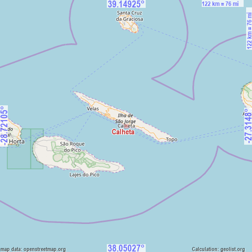
Calheta GPS coordinates[2]
38° 36' 6.696" North, 28° 1' 4.512" West
| Map corner | latitude | longitude |
|---|---|---|
| Upper-left | 39.14925°, | -28.72105° |
| Center: | 38.60186°, | -28.01792° |
| Lower-right: | 38.05027°, | -27.3148° |
| Map W x H: | 122.2×122.2 km | = 75.9×75.9mi |
| max Lat: | 42.11337° ⇑79.4% North |
| Calheta: | 38.60186° |
| min Lat: | ⇓20.6% South 32.6448° |
| min Long | Calheta | max Long |
| -31.17847° | -28.01792° | -6.27308° |
| W 1.7%⇐ | ⇒98.3% E |
Elevation
Elevation of Calheta is 21 m = 69 ft, and this is 156 m = 512 ft below average elevation for this country.
| Max E: |
1008 m = 3307 ft | 86.8% |
| Avg. | 177 m = 581 ft | |
| Calheta | 21 m = 69 ft | |
Min E: |
-128 m = -420 ft | 13.2% |
See also: Portugal elevation on elevation.city.
Geographical zone
Calheta is located in North temperate zone (between Tropic of Cancer and the Arctic Circle). Distance of this Northern Tropic circle is 1686.2 km =1047.8 mi to South.| Distance of | km | miles | from Calheta |
|---|---|---|---|
| North Pole | 5714.9 | 3551.1 | to North |
| Arctic Circle | 3109 | 1931.8 | to North |
| Tropic Cancer | 1686.2 | 1047.8 | to South |
| Equator | 4292.1 | 2667 | to South |


Nearby cities:
15 places around Calheta: (largest is in red/bold)
• Angústias
54 km =33.6 mi,  260°
260°
• Bandeiras
39.3 km =24.4 mi, 259°
• Cais do Pico
27.7 km =17.2 mi,  252°
252°
• Cedros
58.9 km =36.6 mi,  273°
273°
• Horta
53.4 km =33.2 mi, 262°
• Lajes
30.7 km =19.1 mi,  221°
221°
• Madalena
44.8 km =27.8 mi, 260°
• Praia da Graciosa
50.2 km =31.2 mi,  4°
4°
• Ribeira Seca
3 km =1.9 mi,  93°
93°
• Rosais
23.9 km =14.9 mi,  302°
302°
• Santa Cruz da Graciosa
53.8 km =33.4 mi, 1°
• Santo Antão
19.8 km =12.3 mi,  106°
106°
• São Roque do Pico
26.9 km =16.7 mi, 249°
• Urzelina
11.4 km =7.1 mi, 298°
• Velas
18.8 km =11.7 mi, 298°
Sources, notices
• [Note1] Compared only with cities in Portugal existing in our database
• [Src1] Map data: © OpenStreetMap contributors (CC-BY-SA)
• [Src2] Other city data from geonames.org with taken over terms of usage.
• [Src3] Geographical zone / Annual Mean Temperature by Robert A. Rohde @ Wikipedia
