San Lorenzo geodata
San Lorenzo (Central) is a populated place; located in Paraguay in America/Asuncion (GMT-4) time zone. With population of 227,876 people, there are 2 cities with bigger population in this country. Compared to other cities in Paraguay, 62.3% of cities are located further ↓South; 87% of cities are located further →East and 74.1% of cities have higher elevation than San Lorenzo. Note1


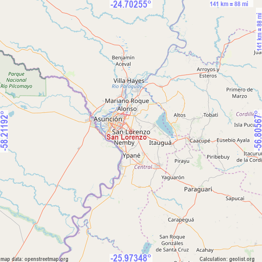
San Lorenzo GPS coordinates[2]
25° 20' 22.848" South, 57° 30' 31.644" West
| Map corner | latitude | longitude |
|---|---|---|
| Upper-left | -24.70255°, | -58.21192° |
| Center: | -25.33968°, | -57.50879° |
| Lower-right: | -25.97348°, | -56.80567° |
| Map W x H: | 141.3×141.3 km | = 87.8×87.8mi |
| max Lat: | -19.91667° ⇑37.7% North |
| San Lorenzo: | -25.33968° |
| min Lat: | ⇓62.3% South -27.38662° |
| min Long | San Lorenzo | max Long |
| -60.78333° | -57.50879° | -54.30694° |
| W 13%⇐ | ⇒87% E |
Elevation
Elevation of San Lorenzo is 119 m = 390 ft, and this is 50.7 m = 166 ft below average elevation for this country.
| Max E: |
658 m = 2159 ft | 74.1% |
| Avg. | 169.7 m = 557 ft | |
| San Lorenzo | 119 m = 390 ft | |
Min E: |
46 m = 151 ft | 25.9% |
See also: San Lorenzo elevation on elevation.city.
Geographical zone
San Lorenzo is located in South temperate zone (between Tropic of Capricorn and the Antarctic Circle). Distance of this Southern Tropic circle is 211.6 km =131.5 mi to North.| Distance of | km | miles | from San Lorenzo |
|---|---|---|---|
| Equator | 2817.5 | 1750.7 | to North |
| Tropic Capricorn | 211.6 | 131.5 | to North |
| Antarctic Circle | 4583.7 | 2848.2 | to South |
| South Pole | 7189.6 | 4467.4 | to South |


Nearby cities:
15 places around San Lorenzo: (largest is in red/bold)
• Areguá
12.8 km =8 mi,  76°
76°
• Asunción
15.1 km =9.4 mi,  293°
293°
• Capiatá
6.6 km =4.1 mi,  105°
105°
• Fernando de la Mora
1.3 km =0.8 mi,  275°
275°
• Guarambaré
17.6 km =10.9 mi,  162°
162°
• Itauguá
16.6 km =10.3 mi, 110°
• Itá
22.9 km =14.2 mi,  141°
141°
• Lambaré
9.8 km =6.1 mi,  265°
265°
• Limpio
19.4 km =12.1 mi,  6°
6°
• Mariano Roque Alonso
14.8 km =9.2 mi,  350°
350°
• Nanawua
20.7 km =12.9 mi, 288°
• Nemby
6.7 km =4.2 mi,  203°
203°
• San Antonio
9.9 km =6.2 mi, 203°
• San Bernardino
21.6 km =13.4 mi, 81°
• Villa Elisa
9 km =5.6 mi,  249°
249°
Sources, notices
• [Note1] Compared only with cities in Paraguay existing in our database
• [Src1] Map data: © OpenStreetMap contributors (CC-BY-SA)
• [Src2] Other city data from geonames.org with taken over terms of usage.
• [Src3] Geographical zone / Annual Mean Temperature by Robert A. Rohde @ Wikipedia
