Teasc geodata
Teasc (Dolj) is a seat of a second-order administrative division; located in Romania in Europe/Bucharest (GMT+3) time zone. With population of 1,968 people, there are 2636 cities with bigger population in this country. Compared to other cities in Romania, 94.2% of cities are located further ↑North; 71.7% of cities are located further →East and 88.5% of cities have higher elevation than Teasc. Note1


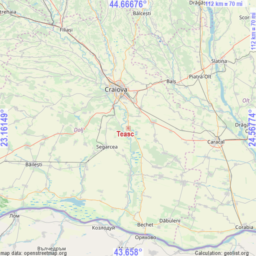
Teasc GPS coordinates[2]
44° 9' 52.344" North, 23° 51' 52.596" East
| Map corner | latitude | longitude |
|---|---|---|
| Upper-left | 44.66676°, | 23.16149° |
| Center: | 44.16454°, | 23.86461° |
| Lower-right: | 43.658°, | 24.56774° |
| Map W x H: | 112.2×112.2 km | = 69.7×69.7mi |
| max Lat: | 48.23793° ⇑94.2% North |
| Teasc: | 44.16454° |
| min Lat: | ⇓5.8% South 43.65638° |
| min Long | Teasc | max Long |
| 20.31667° | 23.86461° | 29.65403° |
| W 28.3%⇐ | ⇒71.7% E |
Elevation
Elevation of Teasc is 65 m = 213 ft, and this is 189.9 m = 623 ft below average elevation for this country.
| Max E: |
1278 m = 4193 ft | 88.5% |
| Avg. | 254.9 m = 836 ft | |
| Teasc | 65 m = 213 ft | |
Min E: |
-2 m = -7 ft | 11.5% |
See also: Romania elevation on elevation.city.
Geographical zone
Teasc is located in North temperate zone (between Tropic of Cancer and the Arctic Circle). Distance of this Northern Tropic circle is 2304.7 km =1432.1 mi to South.| Distance of | km | miles | from Teasc |
|---|---|---|---|
| North Pole | 5096.4 | 3166.8 | to North |
| Arctic Circle | 2490.5 | 1547.5 | to North |
| Tropic Cancer | 2304.7 | 1432.1 | to South |
| Equator | 4910.6 | 3051.3 | to South |


Nearby cities:
15 places around Teasc: (largest is in red/bold)
• Belcinu
6.9 km =4.3 mi,  235°
235°
• Bratovoești
4.5 km =2.8 mi,  140°
140°
• Bădoși
2.8 km =1.7 mi,  133°
133°
• Calopăr
8.3 km =5.2 mi,  270°
270°
• Coşoveni
11 km =6.8 mi,  29°
29°
• Georocu Mare
8.4 km =5.2 mi, 125°
• Ghindeni
7.1 km =4.4 mi,  41°
41°
• Leu
11 km =6.8 mi,  79°
79°
• Livezi
9.5 km =5.9 mi,  321°
321°
• Malu Mare
8.6 km =5.3 mi,  353°
353°
• Podari
11.5 km =7.1 mi,  325°
325°
• Preajba
11.2 km =7 mi, 354°
• Satu Nou Calopăr
7.8 km =4.8 mi, 271°
• Secui
3 km =1.9 mi,  357°
357°
• Ţuglui
4.4 km =2.7 mi,  298°
298°
Sources, notices
• [Note1] Compared only with cities in Romania existing in our database
• [Src1] Map data: © OpenStreetMap contributors (CC-BY-SA)
• [Src2] Other city data from geonames.org with taken over terms of usage.
• [Src3] Geographical zone / Annual Mean Temperature by Robert A. Rohde @ Wikipedia
