Siret geodata
Siret (Suceava) is a seat of a second-order administrative division; located in Romania in Europe/Bucharest (GMT+3) time zone. With population of 9,246 people, there are 247 cities with bigger population in this country. Compared to other cities in Romania, 98.6% of cities are located further ↓South; 64.3% of cities are located further ←West and 69.8% of cities have lower elevation than Siret. Note1


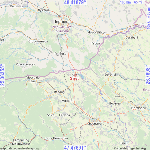
Siret GPS coordinates[2]
47° 57' 0" North, 26° 4' 0.012" East
| Map corner | latitude | longitude |
|---|---|---|
| Upper-left | 48.41879°, | 25.36355° |
| Center: | 47.95°, | 26.06667° |
| Lower-right: | 47.47691°, | 26.7698° |
| Map W x H: | 104.7×104.7 km | = 65.1×65.1mi |
| max Lat: | 48.23793° ⇑1.4% North |
| Siret: | 47.95° |
| min Lat: | ⇓98.6% South 43.65638° |
| min Long | Siret | max Long |
| 20.31667° | 26.06667° | 29.65403° |
| W 64.3%⇐ | ⇒35.7% E |
Elevation
Elevation of Siret is 319 m = 1047 ft, and this is 64.1 m = 210 ft above average elevation for this country.
| Max E: |
1278 m = 4193 ft | 30.2% |
| Siret | 319 m 1047 ft | |
| Avg. | 254.9 m = 836 ft | |
Min E: |
-2 m = -7 ft | 69.8% |
See also: Romania elevation on elevation.city.
Geographical zone
Siret is located in North temperate zone (between Tropic of Cancer and the Arctic Circle). Distance of this North polar circle is 2069.6 km =1286 mi to North.| Distance of | km | miles | from Siret |
|---|---|---|---|
| North Pole | 4675.5 | 2905.2 | to North |
| Arctic Circle | 2069.6 | 1286 | to North |
| Tropic Cancer | 2725.6 | 1693.6 | to South |
| Equator | 5331.5 | 3312.8 | to South |


Nearby cities:
15 places around Siret: (largest is in red/bold)
• Bălcăuţi
6.5 km =4 mi,  175°
175°
• Bălinești
10 km =6.2 mi,  124°
124°
• Calafindeşti
11.7 km =7.3 mi,  161°
161°
• Cândeşti
10.1 km =6.3 mi,  100°
100°
• Dersca
10.6 km =6.6 mi,  69°
69°
• Dorneşti
9.9 km =6.2 mi,  208°
208°
• Grămeşti
7.2 km =4.5 mi, 120°
• Mihăileni
6.5 km =4 mi, 73°
• Muşeniţa
5.3 km =3.3 mi,  290°
290°
• Negostina
3.2 km =2 mi, 159°
• Pârâu Negru
8.3 km =5.2 mi,  80°
80°
• Pădureni
2.9 km =1.8 mi,  89°
89°
• Rogojești
7.2 km =4.5 mi, 99°
• Satu Mare
13.5 km =8.4 mi,  196°
196°
• Vășcăuți
3.8 km =2.4 mi,  301°
301°
Sources, notices
• [Note1] Compared only with cities in Romania existing in our database
• [Src1] Map data: © OpenStreetMap contributors (CC-BY-SA)
• [Src2] Other city data from geonames.org with taken over terms of usage.
• [Src3] Geographical zone / Annual Mean Temperature by Robert A. Rohde @ Wikipedia
