Șanț geodata
Șanț (Bistriţa-Năsăud) is a seat of a second-order administrative division; located in Romania in Europe/Bucharest (GMT+3) time zone. With population of 2,909 people, there are 1844 cities with bigger population in this country. Compared to other cities in Romania, 89.8% of cities are located further ↓South; 54.1% of cities are located further →East and 95.5% of cities have lower elevation than Șanț. Note1


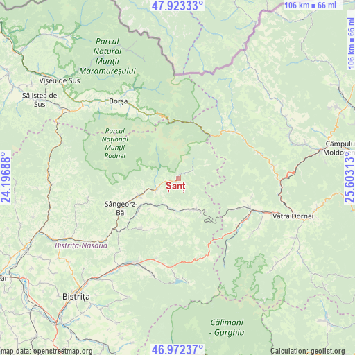
Șanț GPS coordinates[2]
47° 27' 0" North, 24° 54' 0" East
| Map corner | latitude | longitude |
|---|---|---|
| Upper-left | 47.92333°, | 24.19688° |
| Center: | 47.45°, | 24.9° |
| Lower-right: | 46.97237°, | 25.60313° |
| Map W x H: | 105.7×105.7 km | = 65.7×65.7mi |
| max Lat: | 48.23793° ⇑10.2% North |
| Șanț: | 47.45° |
| min Lat: | ⇓89.8% South 43.65638° |
| min Long | Șanț | max Long |
| 20.31667° | 24.9° | 29.65403° |
| W 45.9%⇐ | ⇒54.1% E |
Elevation
Elevation of Șanț is 644 m = 2113 ft, and this is 389.1 m = 1277 ft above average elevation for this country.
| Max E: |
1278 m = 4193 ft | 4.5% |
| Șanț | 644 m 2113 ft | |
| Avg. | 254.9 m = 836 ft | |
Min E: |
-2 m = -7 ft | 95.5% |
See also: Romania elevation on elevation.city.
Geographical zone
Șanț is located in North temperate zone (between Tropic of Cancer and the Arctic Circle). Distance of this North polar circle is 2125.2 km =1320.5 mi to North.| Distance of | km | miles | from Șanț |
|---|---|---|---|
| North Pole | 4731.1 | 2939.8 | to North |
| Arctic Circle | 2125.2 | 1320.5 | to North |
| Tropic Cancer | 2670 | 1659.1 | to South |
| Equator | 5275.9 | 3278.3 | to South |


Nearby cities:
15 places around Șanț: (largest is in red/bold)
• Anieș
10.7 km =6.6 mi,  247°
247°
• Arșița
11.2 km =7 mi,  205°
205°
• Cormaia
18.8 km =11.7 mi,  240°
240°
• Coșna
22.9 km =14.2 mi,  112°
112°
• Ilva Mare
9.3 km =5.8 mi,  180°
180°
• Ivăneasa
12.4 km =7.7 mi, 177°
• Leşu
18.6 km =11.6 mi,  217°
217°
• Lunca Ilvei
11.2 km =7 mi,  145°
145°
• Lunca Leșului
18.2 km =11.3 mi, 210°
• Măgura Ilvei
10.6 km =6.6 mi,  225°
225°
• Măieru
12.6 km =7.8 mi, 243°
• Poiana Ilvei
15.8 km =9.8 mi, 229°
• Rodna
7.3 km =4.5 mi, 239°
• Sângeorz-Băi
19.4 km =12.1 mi, 242°
• Valea Borcutului
20.4 km =12.7 mi, 245°
Sources, notices
• [Note1] Compared only with cities in Romania existing in our database
• [Src1] Map data: © OpenStreetMap contributors (CC-BY-SA)
• [Src2] Other city data from geonames.org with taken over terms of usage.
• [Src3] Geographical zone / Annual Mean Temperature by Robert A. Rohde @ Wikipedia
