Rogojel geodata
Rogojel (Cluj) is a populated place; located in Romania in Europe/Bucharest (GMT+3) time zone. With population of 870 people, there are 4746 cities with bigger population in this country. Compared to other cities in Romania, 73.9% of cities are located further ↓South; 86.4% of cities are located further →East and 99.7% of cities have lower elevation than Rogojel. Note1


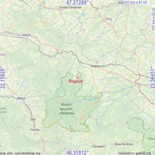
Rogojel GPS coordinates[2]
46° 47' 37.14" North, 22° 51' 40.968" East
| Map corner | latitude | longitude |
|---|---|---|
| Upper-left | 47.27288°, | 22.15826° |
| Center: | 46.79365°, | 22.86138° |
| Lower-right: | 46.31012°, | 23.56451° |
| Map W x H: | 107×107 km | = 66.5×66.5mi |
| max Lat: | 48.23793° ⇑26.1% North |
| Rogojel: | 46.79365° |
| min Lat: | ⇓73.9% South 43.65638° |
| min Long | Rogojel | max Long |
| 20.31667° | 22.86138° | 29.65403° |
| W 13.6%⇐ | ⇒86.4% E |
Elevation
Elevation of Rogojel is 992 m = 3255 ft, and this is 737.1 m = 2418 ft above average elevation for this country.
| Max E: |
1278 m = 4193 ft | 0.3% |
| Rogojel | 992 m 3255 ft | |
| Avg. | 254.9 m = 836 ft | |
Min E: |
-2 m = -7 ft | 99.7% |
See also: Romania elevation on elevation.city.
Geographical zone
Rogojel is located in North temperate zone (between Tropic of Cancer and the Arctic Circle). Distance of this North polar circle is 2198.2 km =1365.9 mi to North.| Distance of | km | miles | from Rogojel |
|---|---|---|---|
| North Pole | 4804.1 | 2985.1 | to North |
| Arctic Circle | 2198.2 | 1365.9 | to North |
| Tropic Cancer | 2597 | 1613.7 | to South |
| Equator | 5203 | 3233 | to South |


Nearby cities:
15 places around Rogojel: (largest is in red/bold)
• Bicălatu
17.5 km =10.9 mi,  56°
56°
• Ciucea
17.7 km =11 mi,  348°
348°
• Călăţele
12.2 km =7.6 mi,  104°
104°
• Fildu de Mijloc
17.8 km =11.1 mi,  35°
35°
• Fildu de Sus
17.4 km =10.8 mi,  26°
26°
• Hodișu
13.4 km =8.3 mi,  17°
17°
• Huedin
16.5 km =10.3 mi, 60°
• Munteni
15.8 km =9.8 mi,  306°
306°
• Mânăstireni
17.2 km =10.7 mi, 100°
• Mărgău
9.4 km =5.8 mi,  121°
121°
• Poieni
13.9 km =8.6 mi,  359°
359°
• Răchițele
10 km =6.2 mi,  165°
165°
• Sâncraiu
10.3 km =6.4 mi, 64°
• Săcuieu
3.9 km =2.4 mi, 31°
• Vânători
17.8 km =11.1 mi,  0°
0°
Sources, notices
• [Note1] Compared only with cities in Romania existing in our database
• [Src1] Map data: © OpenStreetMap contributors (CC-BY-SA)
• [Src2] Other city data from geonames.org with taken over terms of usage.
• [Src3] Geographical zone / Annual Mean Temperature by Robert A. Rohde @ Wikipedia
