Reşiţa geodata
Reşiţa (Caraş-Severin) is a seat of a first-order administrative division; located in Romania in Europe/Bucharest (GMT+3) time zone. With population of 81,228 people, there are 34 cities with bigger population in this country. Compared to other cities in Romania, 58.8% of cities are located further ↑North; 95.2% of cities are located further →East and 66.9% of cities have lower elevation than Reşiţa. Note1


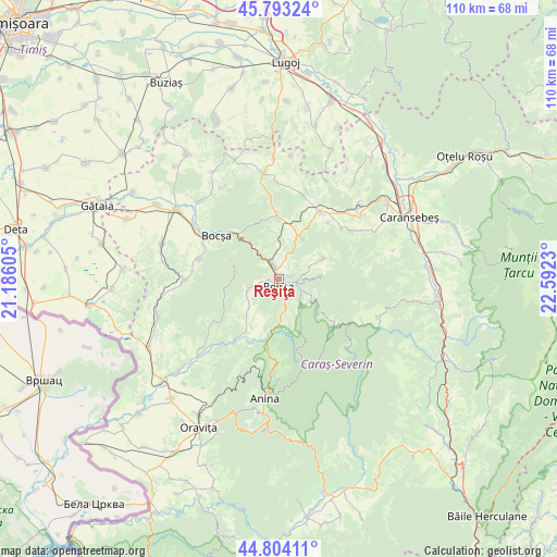
Reşiţa GPS coordinates[2]
45° 18' 2.988" North, 21° 53' 21.012" East
| Map corner | latitude | longitude |
|---|---|---|
| Upper-left | 45.79324°, | 21.18605° |
| Center: | 45.30083°, | 21.88917° |
| Lower-right: | 44.80411°, | 22.5923° |
| Map W x H: | 110×110 km | = 68.4×68.4mi |
| max Lat: | 48.23793° ⇑58.8% North |
| Reşiţa: | 45.30083° |
| min Lat: | ⇓41.2% South 43.65638° |
| min Long | Reşiţa | max Long |
| 20.31667° | 21.88917° | 29.65403° |
| W 4.8%⇐ | ⇒95.2% E |
Elevation
Elevation of Reşiţa is 301 m = 988 ft, and this is 46.1 m = 151 ft above average elevation for this country.
| Max E: |
1278 m = 4193 ft | 33.1% |
| Reşiţa | 301 m 988 ft | |
| Avg. | 254.9 m = 836 ft | |
Min E: |
-2 m = -7 ft | 66.9% |
See also: Reşiţa elevation on elevation.city.
Geographical zone
Reşiţa is located in North temperate zone (between Tropic of Cancer and the Arctic Circle). Distance of this North polar circle is 2364.2 km =1469 mi to North.| Distance of | km | miles | from Reşiţa |
|---|---|---|---|
| North Pole | 4970.1 | 3088.3 | to North |
| Arctic Circle | 2364.2 | 1469 | to North |
| Tropic Cancer | 2431.1 | 1510.6 | to South |
| Equator | 5037 | 3129.8 | to South |


Nearby cities:
15 places around Reşiţa: (largest is in red/bold)
• Caraşova
11.5 km =7.1 mi,  187°
187°
• Clocotici
7.5 km =4.7 mi,  214°
214°
• Câlnic
4.9 km =3 mi,  329°
329°
• Dognecea
10.8 km =6.7 mi,  254°
254°
• Doman
4.5 km =2.8 mi,  151°
151°
• Ezeriş
12.2 km =7.6 mi,  358°
358°
• Lupac
6.4 km =4 mi, 248°
• Nermed
8.2 km =5.1 mi, 194°
• Ocna de Fier
9 km =5.6 mi,  293°
293°
• Rafnic
10.9 km =6.8 mi,  226°
226°
• Secu
7.9 km =4.9 mi,  115°
115°
• Soceni
9.2 km =5.7 mi,  29°
29°
• Târnova
10.2 km =6.3 mi,  63°
63°
• Văliug
13.5 km =8.4 mi, 123°
• Țerova
2.9 km =1.8 mi,  72°
72°
Sources, notices
• [Note1] Compared only with cities in Romania existing in our database
• [Src1] Map data: © OpenStreetMap contributors (CC-BY-SA)
• [Src2] Other city data from geonames.org with taken over terms of usage.
• [Src3] Geographical zone / Annual Mean Temperature by Robert A. Rohde @ Wikipedia
