Poroinica geodata
Poroinica (Dâmboviţa) is a populated place; located in Romania in Europe/Bucharest (GMT+3) time zone. With population of 940 people, there are 4487 cities with bigger population in this country. Compared to other cities in Romania, 81.1% of cities are located further ↑North; 53.7% of cities are located further ←West and 60.6% of cities have higher elevation than Poroinica. Note1


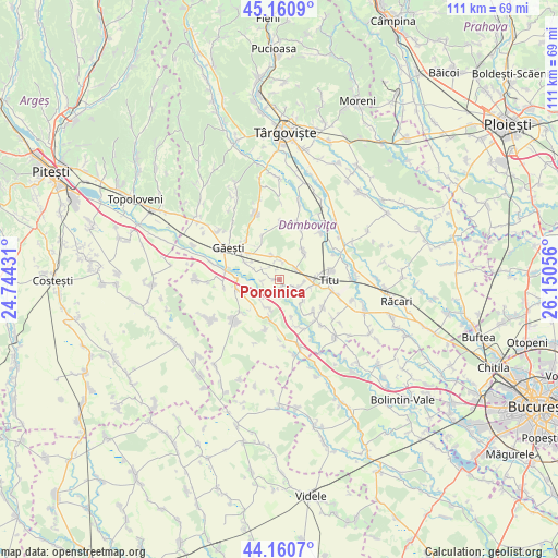
Poroinica GPS coordinates[2]
44° 39' 46.656" North, 25° 26' 50.748" East
| Map corner | latitude | longitude |
|---|---|---|
| Upper-left | 45.1609°, | 24.74431° |
| Center: | 44.66296°, | 25.44743° |
| Lower-right: | 44.1607°, | 26.15056° |
| Map W x H: | 111.2×111.2 km | = 69.1×69.1mi |
| max Lat: | 48.23793° ⇑81.1% North |
| Poroinica: | 44.66296° |
| min Lat: | ⇓18.9% South 43.65638° |
| min Long | Poroinica | max Long |
| 20.31667° | 25.44743° | 29.65403° |
| W 53.7%⇐ | ⇒46.3% E |
Elevation
Elevation of Poroinica is 164 m = 538 ft, and this is 90.9 m = 298 ft below average elevation for this country.
| Max E: |
1278 m = 4193 ft | 60.6% |
| Avg. | 254.9 m = 836 ft | |
| Poroinica | 164 m = 538 ft | |
Min E: |
-2 m = -7 ft | 39.4% |
See also: Romania elevation on elevation.city.
Geographical zone
Poroinica is located in North temperate zone (between Tropic of Cancer and the Arctic Circle). Distance of this Northern Tropic circle is 2360.1 km =1466.5 mi to South.| Distance of | km | miles | from Poroinica |
|---|---|---|---|
| North Pole | 5041 | 3132.3 | to North |
| Arctic Circle | 2435.1 | 1513.1 | to North |
| Tropic Cancer | 2360.1 | 1466.5 | to South |
| Equator | 4966.1 | 3085.8 | to South |


Nearby cities:
15 places around Poroinica: (largest is in red/bold)
• Cojocaru
6.3 km =3.9 mi,  304°
304°
• Costeştii din Vale
3.2 km =2 mi,  116°
116°
• Costeștii din Deal
3.9 km =2.4 mi,  58°
58°
• Jugureni
5.6 km =3.5 mi,  217°
217°
• Mogoşani
4.4 km =2.7 mi, 301°
• Mânăstioara
5.9 km =3.7 mi,  197°
197°
• Mărunțișu
6.1 km =3.8 mi,  130°
130°
• Mătăsaru
6.4 km =4 mi,  337°
337°
• Odaia Turcului
3.9 km =2.4 mi,  3°
3°
• Plopu
6.4 km =4 mi,  102°
102°
• Produleşti
5.9 km =3.7 mi,  45°
45°
• Puțu cu Salcie
1.4 km =0.9 mi,  146°
146°
• Tețcoiu
2.2 km =1.4 mi, 341°
• Tomșani
4.9 km =3 mi, 118°
• Zăvoiu
3.5 km =2.2 mi,  265°
265°
Sources, notices
• [Note1] Compared only with cities in Romania existing in our database
• [Src1] Map data: © OpenStreetMap contributors (CC-BY-SA)
• [Src2] Other city data from geonames.org with taken over terms of usage.
• [Src3] Geographical zone / Annual Mean Temperature by Robert A. Rohde @ Wikipedia
