Poduri geodata
Poduri (Mureş) is a populated place; located in Romania in Europe/Bucharest (GMT+3) time zone. With population of 3,326 people, there are 1538 cities with bigger population in this country. Compared to other cities in Romania, 69.7% of cities are located further ↓South; 68.3% of cities are located further →East and 71% of cities have lower elevation than Poduri. Note1


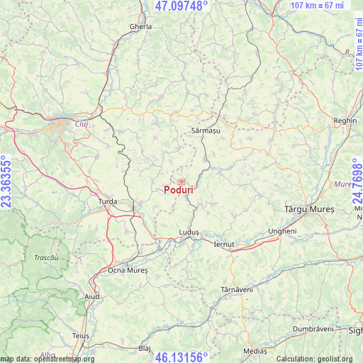
Poduri GPS coordinates[2]
46° 37' 0.012" North, 24° 4' 0.012" East
| Map corner | latitude | longitude |
|---|---|---|
| Upper-left | 47.09748°, | 23.36355° |
| Center: | 46.61667°, | 24.06667° |
| Lower-right: | 46.13156°, | 24.7698° |
| Map W x H: | 107.4×107.4 km | = 66.7×66.7mi |
| max Lat: | 48.23793° ⇑30.3% North |
| Poduri: | 46.61667° |
| min Lat: | ⇓69.7% South 43.65638° |
| min Long | Poduri | max Long |
| 20.31667° | 24.06667° | 29.65403° |
| W 31.7%⇐ | ⇒68.3% E |
Elevation
Elevation of Poduri is 327 m = 1073 ft, and this is 72.1 m = 237 ft above average elevation for this country.
| Max E: |
1278 m = 4193 ft | 29% |
| Poduri | 327 m 1073 ft | |
| Avg. | 254.9 m = 836 ft | |
Min E: |
-2 m = -7 ft | 71% |
See also: Romania elevation on elevation.city.
Geographical zone
Poduri is located in North temperate zone (between Tropic of Cancer and the Arctic Circle). Distance of this North polar circle is 2217.9 km =1378.1 mi to North.| Distance of | km | miles | from Poduri |
|---|---|---|---|
| North Pole | 4823.8 | 2997.4 | to North |
| Arctic Circle | 2217.9 | 1378.1 | to North |
| Tropic Cancer | 2577.4 | 1601.5 | to South |
| Equator | 5183.3 | 3220.8 | to South |


Nearby cities:
15 places around Poduri: (largest is in red/bold)
• Boian
6.2 km =3.9 mi,  291°
291°
• Bolduț
8.8 km =5.5 mi,  273°
273°
• Bârza
9 km =5.6 mi,  145°
145°
• Colonia
7.5 km =4.7 mi,  253°
253°
• Frata
9.4 km =5.8 mi,  352°
352°
• Iacobeni
6.6 km =4.1 mi,  334°
334°
• Miheşu de Câmpie
9.8 km =6.1 mi,  40°
40°
• Pădureni
4 km =2.5 mi,  229°
229°
• Soporu de Câmpie
10 km =6.2 mi, 332°
• Sânger
8.5 km =5.3 mi,  140°
140°
• Tritenii de Jos
6.3 km =3.9 mi, 233°
• Tritenii de Sus
5.4 km =3.4 mi,  256°
256°
• Tăureni
4.3 km =2.7 mi,  165°
165°
• Valea Largă
1.1 km =0.7 mi,  51°
51°
• Zau de Câmpie
4.9 km =3 mi,  93°
93°
Sources, notices
• [Note1] Compared only with cities in Romania existing in our database
• [Src1] Map data: © OpenStreetMap contributors (CC-BY-SA)
• [Src2] Other city data from geonames.org with taken over terms of usage.
• [Src3] Geographical zone / Annual Mean Temperature by Robert A. Rohde @ Wikipedia
