Panaghia geodata
Panaghia (Dolj) is a populated place; located in Romania in Europe/Bucharest (GMT+3) time zone. With population of 764 people, there are 5217 cities with bigger population in this country. Compared to other cities in Romania, 93.9% of cities are located further ↑North; 74.2% of cities are located further →East and 63.4% of cities have higher elevation than Panaghia. Note1


Panaghia GPS coordinates[2]
44° 10' 25.536" North, 23° 42' 15.948" East
| Map corner | latitude | longitude |
|---|---|---|
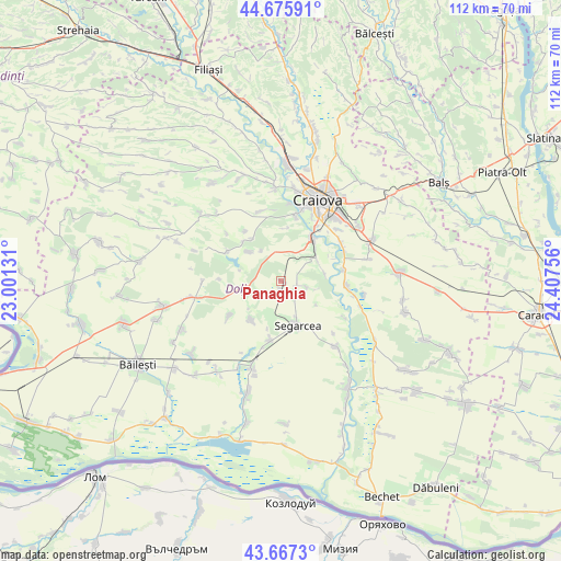
| Upper-left | 44.67591°, | 23.00131° |
| Center: | 44.17376°, | 23.70443° |
| Lower-right: | 43.6673°, | 24.40756° |
| Map W x H: | 112.1×112.1 km | = 69.7×69.7mi |
| max Lat: | 48.23793° ⇑93.9% North |
| Panaghia: | 44.17376° |
| min Lat: | ⇓6.1% South 43.65638° |
| min Long | Panaghia | max Long |
| 20.31667° | 23.70443° | 29.65403° |
| W 25.8%⇐ | ⇒74.2% E |
Elevation
Elevation of Panaghia is 153 m = 502 ft, and this is 101.9 m = 334 ft below average elevation for this country.
| Max E: |
1278 m = 4193 ft | 63.4% |
| Avg. | 254.9 m = 836 ft | |
| Panaghia | 153 m = 502 ft | |
Min E: |
-2 m = -7 ft | 36.6% |
See also: Romania elevation on elevation.city.
Geographical zone
Panaghia is located in North temperate zone (between Tropic of Cancer and the Arctic Circle). Distance of this Northern Tropic circle is 2305.7 km =1432.7 mi to South.| Distance of | km | miles | from Panaghia |
|---|---|---|---|
| North Pole | 5095.4 | 3166.1 | to North |
| Arctic Circle | 2489.5 | 1546.9 | to North |
| Tropic Cancer | 2305.7 | 1432.7 | to South |
| Equator | 4911.7 | 3052 | to South |


Nearby cities:
15 places around Panaghia: (largest is in red/bold)
• Belcinu
8.6 km =5.3 mi,  124°
124°
• Calopăr
4.6 km =2.9 mi,  102°
102°
• Cerăt
12.3 km =7.6 mi,  194°
194°
• Lipovu
10 km =6.2 mi,  214°
214°
• Livezi
9.3 km =5.8 mi,  46°
46°
• Palilula
10.7 km =6.6 mi,  7°
7°
• Podari
10.6 km =6.6 mi,  36°
36°
• Radovan
7 km =4.3 mi,  263°
263°
• Satu Nou Calopăr
5 km =3.1 mi, 99°
• Segarcea
9 km =5.6 mi,  156°
156°
• Sălcuța
1.6 km =1 mi, 185°
• Vârvor
8.6 km =5.3 mi,  311°
311°
• Vârvoru de Jos
11 km =6.8 mi,  315°
315°
• Întorsura
12.3 km =7.6 mi,  236°
236°
• Ţuglui
9 km =5.6 mi,  83°
83°
Sources, notices
• [Note1] Compared only with cities in Romania existing in our database
• [Src1] Map data: © OpenStreetMap contributors (CC-BY-SA)
• [Src2] Other city data from geonames.org with taken over terms of usage.
• [Src3] Geographical zone / Annual Mean Temperature by Robert A. Rohde @ Wikipedia
