Mogoșești geodata
Mogoșești (Olt) is a populated place; located in Romania in Europe/Bucharest (GMT+3) time zone. With population of 692 people, there are 5622 cities with bigger population in this country. Compared to other cities in Romania, 83.9% of cities are located further ↑North; 60.2% of cities are located further →East and 51.3% of cities have lower elevation than Mogoșești. Note1


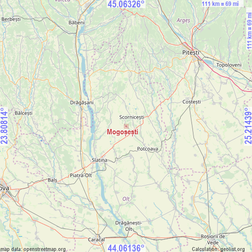
Mogoșești GPS coordinates[2]
44° 33' 52.092" North, 24° 30' 40.536" East
| Map corner | latitude | longitude |
|---|---|---|
| Upper-left | 45.06326°, | 23.80814° |
| Center: | 44.56447°, | 24.51126° |
| Lower-right: | 44.06136°, | 25.21439° |
| Map W x H: | 111.4×111.4 km | = 69.2×69.2mi |
| max Lat: | 48.23793° ⇑83.9% North |
| Mogoșești: | 44.56447° |
| min Lat: | ⇓16.1% South 43.65638° |
| min Long | Mogoșești | max Long |
| 20.31667° | 24.51126° | 29.65403° |
| W 39.8%⇐ | ⇒60.2% E |
Elevation
Elevation of Mogoșești is 218 m = 715 ft, and this is 36.9 m = 121 ft below average elevation for this country.
| Max E: |
1278 m = 4193 ft | 48.7% |
| Avg. | 254.9 m = 836 ft | |
| Mogoșești | 218 m = 715 ft | |
Min E: |
-2 m = -7 ft | 51.3% |
See also: Romania elevation on elevation.city.
Geographical zone
Mogoșești is located in North temperate zone (between Tropic of Cancer and the Arctic Circle). Distance of this Northern Tropic circle is 2349.2 km =1459.7 mi to South.| Distance of | km | miles | from Mogoșești |
|---|---|---|---|
| North Pole | 5052 | 3139.2 | to North |
| Arctic Circle | 2446.1 | 1519.9 | to North |
| Tropic Cancer | 2349.2 | 1459.7 | to South |
| Equator | 4955.1 | 3079 | to South |


Nearby cities:
15 places around Mogoșești: (largest is in red/bold)
• Bircii
9 km =5.6 mi,  126°
126°
• Bălțați
8.3 km =5.2 mi,  136°
136°
• Constantinești
3.4 km =2.1 mi,  347°
347°
• Deleni
11.9 km =7.4 mi,  270°
270°
• Jitaru
3.6 km =2.2 mi,  124°
124°
• Mărgineni Slobozia
5.2 km =3.2 mi, 135°
• Negreni
6.7 km =4.2 mi,  86°
86°
• Oporelu
8.5 km =5.3 mi,  297°
297°
• Optaşi
11.2 km =7 mi,  79°
79°
• Poboru
11.4 km =7.1 mi,  355°
355°
• Potcoava Fălcoeni
11.4 km =7.1 mi, 132°
• Priseaca
7.2 km =4.5 mi,  222°
222°
• Scorniceşti
3.1 km =1.9 mi, 85°
• Tătuleşti
12.3 km =7.6 mi,  51°
51°
• Valea Mare
12.5 km =7.8 mi,  209°
209°
Sources, notices
• [Note1] Compared only with cities in Romania existing in our database
• [Src1] Map data: © OpenStreetMap contributors (CC-BY-SA)
• [Src2] Other city data from geonames.org with taken over terms of usage.
• [Src3] Geographical zone / Annual Mean Temperature by Robert A. Rohde @ Wikipedia
