Lupăria geodata
Lupăria (Botoşani) is a populated place; located in Romania in Europe/Bucharest (GMT+3) time zone. With population of 806 people, there are 5020 cities with bigger population in this country. Compared to other cities in Romania, 90.8% of cities are located further ↓South; 83.4% of cities are located further ←West and 87.6% of cities have higher elevation than Lupăria. Note1


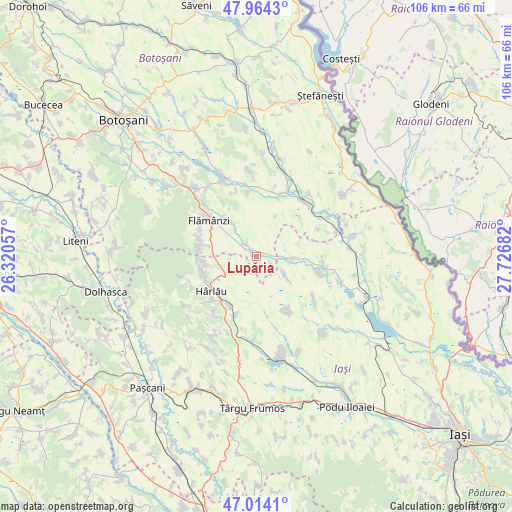
Lupăria GPS coordinates[2]
47° 29' 28.86" North, 27° 1' 25.284" East
| Map corner | latitude | longitude |
|---|---|---|
| Upper-left | 47.9643°, | 26.32057° |
| Center: | 47.49135°, | 27.02369° |
| Lower-right: | 47.0141°, | 27.72682° |
| Map W x H: | 105.7×105.7 km | = 65.7×65.7mi |
| max Lat: | 48.23793° ⇑9.2% North |
| Lupăria: | 47.49135° |
| min Lat: | ⇓90.8% South 43.65638° |
| min Long | Lupăria | max Long |
| 20.31667° | 27.02369° | 29.65403° |
| W 83.4%⇐ | ⇒16.6% E |
Elevation
Elevation of Lupăria is 69 m = 226 ft, and this is 185.9 m = 610 ft below average elevation for this country.
| Max E: |
1278 m = 4193 ft | 87.6% |
| Avg. | 254.9 m = 836 ft | |
| Lupăria | 69 m = 226 ft | |
Min E: |
-2 m = -7 ft | 12.4% |
See also: Romania elevation on elevation.city.
Geographical zone
Lupăria is located in North temperate zone (between Tropic of Cancer and the Arctic Circle). Distance of this North polar circle is 2120.6 km =1317.7 mi to North.| Distance of | km | miles | from Lupăria |
|---|---|---|---|
| North Pole | 4726.5 | 2936.9 | to North |
| Arctic Circle | 2120.6 | 1317.7 | to North |
| Tropic Cancer | 2674.6 | 1661.9 | to South |
| Equator | 5280.5 | 3281.1 | to South |


Nearby cities:
15 places around Lupăria: (largest is in red/bold)
• Borosoaia
6.5 km =4 mi,  119°
119°
• Bădeni
11 km =6.8 mi,  210°
210°
• Chițoveni
10.9 km =6.8 mi,  320°
320°
• Câmpeni
2.7 km =1.7 mi,  307°
307°
• Deleni
10.9 km =6.8 mi,  255°
255°
• Feredeni
10.8 km =6.7 mi,  265°
265°
• Frumuşica
10.4 km =6.5 mi,  296°
296°
• Hârlău
11.3 km =7 mi,  235°
235°
• Maxut
11.4 km =7.1 mi, 240°
• Miletin
3.2 km =2 mi,  110°
110°
• Plugari
5.8 km =3.6 mi,  98°
98°
• Prisăcani
9.2 km =5.7 mi, 322°
• Prăjeni
2.9 km =1.8 mi,  349°
349°
• Rădeni
10.1 km =6.3 mi,  283°
283°
• Slobozia
10.2 km =6.3 mi, 261°
Sources, notices
• [Note1] Compared only with cities in Romania existing in our database
• [Src1] Map data: © OpenStreetMap contributors (CC-BY-SA)
• [Src2] Other city data from geonames.org with taken over terms of usage.
• [Src3] Geographical zone / Annual Mean Temperature by Robert A. Rohde @ Wikipedia
