Bădeni geodata
Bădeni (Iaşi) is a populated place; located in Romania in Europe/Bucharest (GMT+3) time zone. With population of 1,313 people, there are 3493 cities with bigger population in this country. Compared to other cities in Romania, 89% of cities are located further ↓South; 82% of cities are located further ←West and 70.6% of cities have higher elevation than Bădeni. Note1


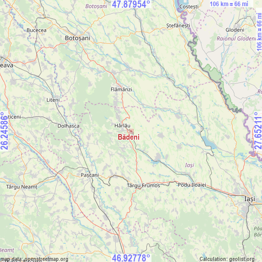
Bădeni GPS coordinates[2]
47° 24' 20.916" North, 26° 56' 56.328" East
| Map corner | latitude | longitude |
|---|---|---|
| Upper-left | 47.87954°, | 26.24586° |
| Center: | 47.40581°, | 26.94898° |
| Lower-right: | 46.92778°, | 27.65211° |
| Map W x H: | 105.8×105.8 km | = 65.7×65.7mi |
| max Lat: | 48.23793° ⇑11% North |
| Bădeni: | 47.40581° |
| min Lat: | ⇓89% South 43.65638° |
| min Long | Bădeni | max Long |
| 20.31667° | 26.94898° | 29.65403° |
| W 82%⇐ | ⇒18% E |
Elevation
Elevation of Bădeni is 125 m = 410 ft, and this is 129.9 m = 426 ft below average elevation for this country.
| Max E: |
1278 m = 4193 ft | 70.6% |
| Avg. | 254.9 m = 836 ft | |
| Bădeni | 125 m = 410 ft | |
Min E: |
-2 m = -7 ft | 29.4% |
See also: Romania elevation on elevation.city.
Geographical zone
Bădeni is located in North temperate zone (between Tropic of Cancer and the Arctic Circle). Distance of this North polar circle is 2130.1 km =1323.6 mi to North.| Distance of | km | miles | from Bădeni |
|---|---|---|---|
| North Pole | 4736 | 2942.8 | to North |
| Arctic Circle | 2130.1 | 1323.6 | to North |
| Tropic Cancer | 2665.1 | 1656 | to South |
| Equator | 5271 | 3275.2 | to South |


Nearby cities:
15 places around Bădeni: (largest is in red/bold)
• Buhalnița
3.9 km =2.4 mi,  220°
220°
• Cepleniţa
5.7 km =3.5 mi,  116°
116°
• Cotnari
6.7 km =4.2 mi,  157°
157°
• Cârjoaia
7.9 km =4.9 mi,  202°
202°
• Deleni
8.4 km =5.2 mi,  323°
323°
• Fetești
3 km =1.9 mi,  277°
277°
• Horodiștea
6.5 km =4 mi,  206°
206°
• Hârlău
4.8 km =3 mi,  309°
309°
• Maxut
5.8 km =3.6 mi, 311°
• Poiana Mărului
5.2 km =3.2 mi,  235°
235°
• Pârcovaci
8.1 km =5 mi,  294°
294°
• Scobinţi
2.8 km =1.7 mi, 205°
• Slobozia
9.1 km =5.7 mi,  330°
330°
• Sticlăria
8.4 km =5.2 mi,  266°
266°
• Zagavia
4.1 km =2.5 mi, 291°
Sources, notices
• [Note1] Compared only with cities in Romania existing in our database
• [Src1] Map data: © OpenStreetMap contributors (CC-BY-SA)
• [Src2] Other city data from geonames.org with taken over terms of usage.
• [Src3] Geographical zone / Annual Mean Temperature by Robert A. Rohde @ Wikipedia
