Jegălia geodata
Jegălia (Călăraşi) is a seat of a second-order administrative division; located in Romania in Europe/Bucharest (GMT+3) time zone. With population of 4,751 people, there are 858 cities with bigger population in this country. Compared to other cities in Romania, 90.8% of cities are located further ↑North; 92.5% of cities are located further ←West and 99.2% of cities have higher elevation than Jegălia. Note1


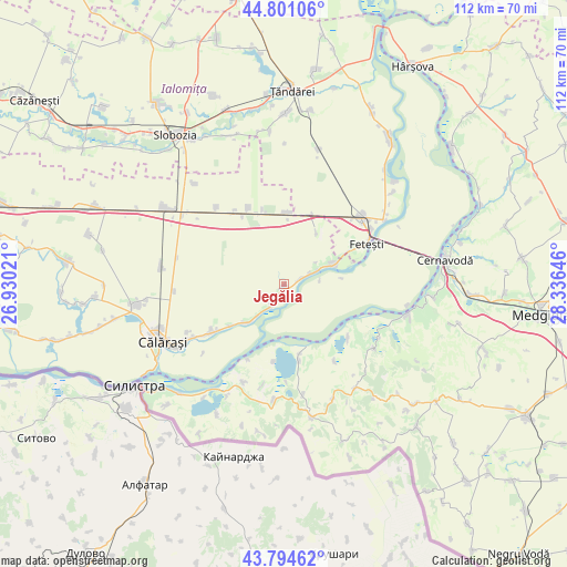
Jegălia GPS coordinates[2]
44° 18' 0" North, 27° 37' 59.988" East
| Map corner | latitude | longitude |
|---|---|---|
| Upper-left | 44.80106°, | 26.93021° |
| Center: | 44.3°, | 27.63333° |
| Lower-right: | 43.79462°, | 28.33646° |
| Map W x H: | 111.9×111.9 km | = 69.5×69.5mi |
| max Lat: | 48.23793° ⇑90.8% North |
| Jegălia: | 44.3° |
| min Lat: | ⇓9.2% South 43.65638° |
| min Long | Jegălia | max Long |
| 20.31667° | 27.63333° | 29.65403° |
| W 92.5%⇐ | ⇒7.5% E |
Elevation
Elevation of Jegălia is 10 m = 33 ft, and this is 244.9 m = 803 ft below average elevation for this country.
| Max E: |
1278 m = 4193 ft | 99.2% |
| Avg. | 254.9 m = 836 ft | |
| Jegălia | 10 m = 33 ft | |
Min E: |
-2 m = -7 ft | 0.8% |
See also: Romania elevation on elevation.city.
Geographical zone
Jegălia is located in North temperate zone (between Tropic of Cancer and the Arctic Circle). Distance of this Northern Tropic circle is 2319.8 km =1441.5 mi to South.| Distance of | km | miles | from Jegălia |
|---|---|---|---|
| North Pole | 5081.4 | 3157.4 | to North |
| Arctic Circle | 2475.5 | 1538.2 | to North |
| Tropic Cancer | 2319.8 | 1441.5 | to South |
| Equator | 4925.7 | 3060.7 | to South |


Nearby cities:
15 places around Jegălia: (largest is in red/bold)
• Borcea
10 km =6.2 mi,  68°
68°
• Buliga
14.2 km =8.8 mi,  63°
63°
• Dichiseni
10.9 km =6.8 mi,  227°
227°
• Dunăreni
16.4 km =10.2 mi,  130°
130°
• Feteşti
18.4 km =11.4 mi, 59°
• Fetești-Gară
20.2 km =12.6 mi,  48°
48°
• Gâldău
3 km =1.9 mi,  78°
78°
• Iezeru
1.7 km =1.1 mi,  204°
204°
• Oltina
15.1 km =9.4 mi,  169°
169°
• Perişoru
17.9 km =11.1 mi,  338°
338°
• Roseţi
17.5 km =10.9 mi,  237°
237°
• Satnoeni
9.9 km =6.2 mi,  221°
221°
• Unirea
3.7 km =2.3 mi,  180°
180°
• Viile
18.3 km =11.4 mi,  147°
147°
• Ștefan cel Mare
14.1 km =8.8 mi,  3°
3°
Sources, notices
• [Note1] Compared only with cities in Romania existing in our database
• [Src1] Map data: © OpenStreetMap contributors (CC-BY-SA)
• [Src2] Other city data from geonames.org with taken over terms of usage.
• [Src3] Geographical zone / Annual Mean Temperature by Robert A. Rohde @ Wikipedia
