Hotarele geodata
Hotarele (Giurgiu) is a seat of a second-order administrative division; located in Romania in Europe/Bucharest (GMT+3) time zone. With population of 8,790 people, there are 260 cities with bigger population in this country. Compared to other cities in Romania, 94% of cities are located further ↑North; 70.3% of cities are located further ←West and 93.2% of cities have higher elevation than Hotarele. Note1


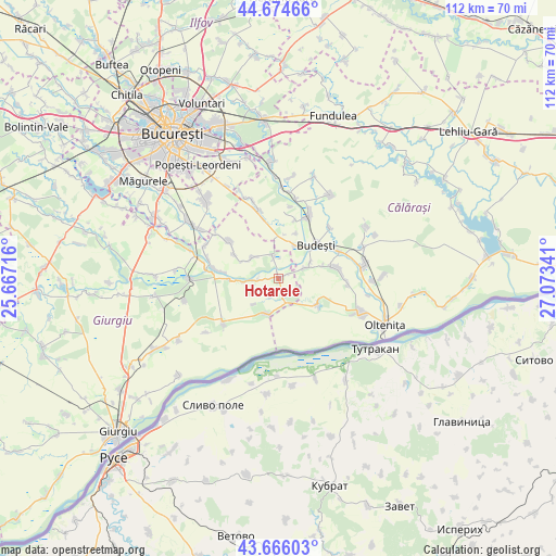
Hotarele GPS coordinates[2]
44° 10' 21" North, 26° 22' 13.008" East
| Map corner | latitude | longitude |
|---|---|---|
| Upper-left | 44.67466°, | 25.66716° |
| Center: | 44.1725°, | 26.37028° |
| Lower-right: | 43.66603°, | 27.07341° |
| Map W x H: | 112.1×112.1 km | = 69.7×69.7mi |
| max Lat: | 48.23793° ⇑94% North |
| Hotarele: | 44.1725° |
| min Lat: | ⇓6% South 43.65638° |
| min Long | Hotarele | max Long |
| 20.31667° | 26.37028° | 29.65403° |
| W 70.3%⇐ | ⇒29.7% E |
Elevation
Elevation of Hotarele is 42 m = 138 ft, and this is 212.9 m = 698 ft below average elevation for this country.
| Max E: |
1278 m = 4193 ft | 93.2% |
| Avg. | 254.9 m = 836 ft | |
| Hotarele | 42 m = 138 ft | |
Min E: |
-2 m = -7 ft | 6.8% |
See also: Romania elevation on elevation.city.
Geographical zone
Hotarele is located in North temperate zone (between Tropic of Cancer and the Arctic Circle). Distance of this Northern Tropic circle is 2305.6 km =1432.6 mi to South.| Distance of | km | miles | from Hotarele |
|---|---|---|---|
| North Pole | 5095.5 | 3166.2 | to North |
| Arctic Circle | 2489.7 | 1547 | to North |
| Tropic Cancer | 2305.6 | 1432.6 | to South |
| Equator | 4911.5 | 3051.9 | to South |


Nearby cities:
15 places around Hotarele: (largest is in red/bold)
• Buciumeni
9.8 km =6.1 mi,  21°
21°
• Budeşti
10.3 km =6.4 mi,  47°
47°
• Crivăț
5.9 km =3.7 mi,  66°
66°
• Căscioarele
9.5 km =5.9 mi,  123°
123°
• Gostinari
11.4 km =7.1 mi,  277°
277°
• Goştinari-Văcăreşti
12.3 km =7.6 mi, 275°
• Greaca
7.4 km =4.6 mi,  199°
199°
• Gruiu
7.7 km =4.8 mi,  29°
29°
• Herăști
4.5 km =2.8 mi,  348°
348°
• Izvoarele
4.5 km =2.8 mi,  266°
266°
• Mironești
9.8 km =6.1 mi, 267°
• Negoești
12.3 km =7.6 mi,  58°
58°
• Radovanu
12.1 km =7.5 mi,  75°
75°
• Valea Dragului
6.9 km =4.3 mi,  309°
309°
• Vărăşti
12.1 km =7.5 mi, 306°
Sources, notices
• [Note1] Compared only with cities in Romania existing in our database
• [Src1] Map data: © OpenStreetMap contributors (CC-BY-SA)
• [Src2] Other city data from geonames.org with taken over terms of usage.
• [Src3] Geographical zone / Annual Mean Temperature by Robert A. Rohde @ Wikipedia
