Hopârta geodata
Hopârta (Alba) is a seat of a second-order administrative division; located in Romania in Europe/Bucharest (GMT+3) time zone. With population of 407 people, there are 7037 cities with bigger population in this country. Compared to other cities in Romania, 62.8% of cities are located further ↓South; 71.5% of cities are located further →East and 70% of cities have lower elevation than Hopârta. Note1


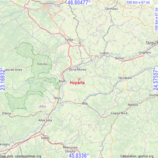
Hopârta GPS coordinates[2]
46° 19' 16.824" North, 23° 52' 20.784" East
| Map corner | latitude | longitude |
|---|---|---|
| Upper-left | 46.80477°, | 23.16932° |
| Center: | 46.32134°, | 23.87244° |
| Lower-right: | 45.8336°, | 24.57557° |
| Map W x H: | 108×108 km | = 67.1×67.1mi |
| max Lat: | 48.23793° ⇑37.2% North |
| Hopârta: | 46.32134° |
| min Lat: | ⇓62.8% South 43.65638° |
| min Long | Hopârta | max Long |
| 20.31667° | 23.87244° | 29.65403° |
| W 28.5%⇐ | ⇒71.5% E |
Elevation
Elevation of Hopârta is 321 m = 1053 ft, and this is 66.1 m = 217 ft above average elevation for this country.
| Max E: |
1278 m = 4193 ft | 30% |
| Hopârta | 321 m 1053 ft | |
| Avg. | 254.9 m = 836 ft | |
Min E: |
-2 m = -7 ft | 70% |
See also: Romania elevation on elevation.city.
Geographical zone
Hopârta is located in North temperate zone (between Tropic of Cancer and the Arctic Circle). Distance of this North polar circle is 2250.7 km =1398.5 mi to North.| Distance of | km | miles | from Hopârta |
|---|---|---|---|
| North Pole | 4856.6 | 3017.8 | to North |
| Arctic Circle | 2250.7 | 1398.5 | to North |
| Tropic Cancer | 2544.5 | 1581.1 | to South |
| Equator | 5150.5 | 3200.4 | to South |


Nearby cities:
15 places around Hopârta: (largest is in red/bold)
• Aiud
11.7 km =7.3 mi,  263°
263°
• Beța
8.7 km =5.4 mi,  210°
210°
• Băgău
6.1 km =3.8 mi, 258°
• Cisteiu de Mureș
7.7 km =4.8 mi,  323°
323°
• Ciuguzel
4.3 km =2.7 mi,  194°
194°
• Ciumbrud
8.6 km =5.3 mi, 260°
• Decea
10.8 km =6.7 mi,  309°
309°
• Fărău
11.2 km =7 mi,  83°
83°
• Lopadea Nouă
5.3 km =3.3 mi,  230°
230°
• Noşlac
9.9 km =6.2 mi,  28°
28°
• Ocna Mureş
7.1 km =4.4 mi,  345°
345°
• Războieni-Cetate
10.2 km =6.3 mi,  359°
359°
• Sâncrai
9.7 km =6 mi,  251°
251°
• Uioara de Jos
6.1 km =3.8 mi,  334°
334°
• Unirea
10.2 km =6.3 mi, 333°
Sources, notices
• [Note1] Compared only with cities in Romania existing in our database
• [Src1] Map data: © OpenStreetMap contributors (CC-BY-SA)
• [Src2] Other city data from geonames.org with taken over terms of usage.
• [Src3] Geographical zone / Annual Mean Temperature by Robert A. Rohde @ Wikipedia
