Grozăvești geodata
Grozăvești (Dâmboviţa) is a populated place; located in Romania in Europe/Bucharest (GMT+2) time zone. With population of 1,891 people, there are 2715 cities with bigger population in this country. Compared to other cities in Romania, 83.5% of cities are located further ↑North; 54% of cities are located further ←West and 66.3% of cities have higher elevation than Grozăvești. Note1


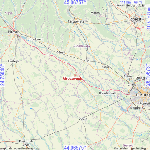
Grozăvești GPS coordinates[2]
44° 34' 7.752" North, 25° 27' 12.96" East
| Map corner | latitude | longitude |
|---|---|---|
| Upper-left | 45.06757°, | 24.75048° |
| Center: | 44.56882°, | 25.4536° |
| Lower-right: | 44.06575°, | 26.15673° |
| Map W x H: | 111.4×111.4 km | = 69.2×69.2mi |
| max Lat: | 48.23793° ⇑83.5% North |
| Grozăvești: | 44.56882° |
| min Lat: | ⇓16.5% South 43.65638° |
| min Long | Grozăvești | max Long |
| 20.31667° | 25.4536° | 29.65403° |
| W 54%⇐ | ⇒46% E |
Elevation
Elevation of Grozăvești is 142 m = 466 ft, and this is 112.9 m = 370 ft below average elevation for this country.
| Max E: |
1278 m = 4193 ft | 66.3% |
| Avg. | 254.9 m = 836 ft | |
| Grozăvești | 142 m = 466 ft | |
Min E: |
-2 m = -7 ft | 33.7% |
See also: Romania elevation on elevation.city.
Geographical zone
Grozăvești is located in North temperate zone (between Tropic of Cancer and the Arctic Circle). Distance of this Northern Tropic circle is 2349.7 km =1460 mi to South.| Distance of | km | miles | from Grozăvești |
|---|---|---|---|
| North Pole | 5051.5 | 3138.9 | to North |
| Arctic Circle | 2445.6 | 1519.6 | to North |
| Tropic Cancer | 2349.7 | 1460 | to South |
| Equator | 4955.6 | 3079.3 | to South |


Nearby cities:
15 places around Grozăvești: (largest is in red/bold)
• Brâncoveanu
8 km =5 mi,  57°
57°
• Corbii Mari
4.2 km =2.6 mi,  119°
119°
• Croitori
3.2 km =2 mi,  282°
282°
• Crovu
7 km =4.3 mi,  70°
70°
• Izvoru
7.7 km =4.8 mi,  305°
305°
• Jugureni
7.2 km =4.5 mi,  327°
327°
• Miulești
6 km =3.7 mi,  54°
54°
• Mânăstioara
5.4 km =3.4 mi,  335°
335°
• Mărunțișu
7.8 km =4.8 mi,  32°
32°
• Petrești
1.3 km =0.8 mi,  201°
201°
• Ragu
5.2 km =3.2 mi, 308°
• Satu Nou
3.7 km =2.3 mi, 33°
• Ulieşti
3.3 km =2.1 mi,  298°
298°
• Ungureni
3.8 km =2.4 mi, 74°
• Vadu Stanchii
5.2 km =3.2 mi,  150°
150°
Sources, notices
• [Note1] Compared only with cities in Romania existing in our database
• [Src1] Map data: © OpenStreetMap contributors (CC-BY-SA)
• [Src2] Other city data from geonames.org with taken over terms of usage.
• [Src3] Geographical zone / Annual Mean Temperature by Robert A. Rohde @ Wikipedia
