Ghindari geodata
Ghindari (Mureş) is a seat of a second-order administrative division; located in Romania in Europe/Bucharest (GMT+3) time zone. With population of 4,997 people, there are 785 cities with bigger population in this country. Compared to other cities in Romania, 67.1% of cities are located further ↓South; 53.8% of cities are located further →East and 79.6% of cities have lower elevation than Ghindari. Note1


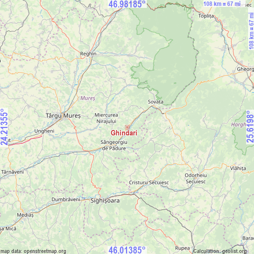
Ghindari GPS coordinates[2]
46° 30' 0" North, 24° 55' 0.012" East
| Map corner | latitude | longitude |
|---|---|---|
| Upper-left | 46.98185°, | 24.21355° |
| Center: | 46.5°, | 24.91667° |
| Lower-right: | 46.01385°, | 25.6198° |
| Map W x H: | 107.6×107.6 km | = 66.9×66.9mi |
| max Lat: | 48.23793° ⇑32.9% North |
| Ghindari: | 46.5° |
| min Lat: | ⇓67.1% South 43.65638° |
| min Long | Ghindari | max Long |
| 20.31667° | 24.91667° | 29.65403° |
| W 46.2%⇐ | ⇒53.8% E |
Elevation
Elevation of Ghindari is 389 m = 1276 ft, and this is 134.1 m = 440 ft above average elevation for this country.
| Max E: |
1278 m = 4193 ft | 20.4% |
| Ghindari | 389 m 1276 ft | |
| Avg. | 254.9 m = 836 ft | |
Min E: |
-2 m = -7 ft | 79.6% |
See also: Romania elevation on elevation.city.
Geographical zone
Ghindari is located in North temperate zone (between Tropic of Cancer and the Arctic Circle). Distance of this North polar circle is 2230.9 km =1386.2 mi to North.| Distance of | km | miles | from Ghindari |
|---|---|---|---|
| North Pole | 4836.7 | 3005.4 | to North |
| Arctic Circle | 2230.9 | 1386.2 | to North |
| Tropic Cancer | 2564.4 | 1593.4 | to South |
| Equator | 5170.3 | 3212.7 | to South |


Nearby cities:
15 places around Ghindari: (largest is in red/bold)
• Atid
11.6 km =7.2 mi,  118°
118°
• Bereni
7.4 km =4.6 mi,  329°
329°
• Bezid
10.5 km =6.5 mi,  176°
176°
• Chibed
5.1 km =3.2 mi,  43°
43°
• Crișeni
10.3 km =6.4 mi,  155°
155°
• Miercurea Nirajului
9.7 km =6 mi,  292°
292°
• Măgherani
7.5 km =4.7 mi,  350°
350°
• Neaua
6.6 km =4.1 mi,  253°
253°
• Sângeorgiu de Pădure
9.6 km =6 mi,  216°
216°
• Sărățeni
10.1 km =6.3 mi,  46°
46°
• Trei Sate
3 km =1.9 mi,  207°
207°
• Troița
11.4 km =7.1 mi,  261°
261°
• Valea
11.6 km =7.2 mi,  307°
307°
• Viforoasa
11.1 km =6.9 mi,  227°
227°
• Șilea Nirajului
11 km =6.8 mi,  2°
2°
Sources, notices
• [Note1] Compared only with cities in Romania existing in our database
• [Src1] Map data: © OpenStreetMap contributors (CC-BY-SA)
• [Src2] Other city data from geonames.org with taken over terms of usage.
• [Src3] Geographical zone / Annual Mean Temperature by Robert A. Rohde @ Wikipedia
