Gheorghe Lazăr geodata
Gheorghe Lazăr (Ialomiţa) is a seat of a second-order administrative division; located in Romania in Europe/Bucharest (GMT+3) time zone. With population of 2,476 people, there are 2182 cities with bigger population in this country. Compared to other cities in Romania, 82% of cities are located further ↑North; 90.3% of cities are located further ←West and 96.4% of cities have higher elevation than Gheorghe Lazăr. Note1


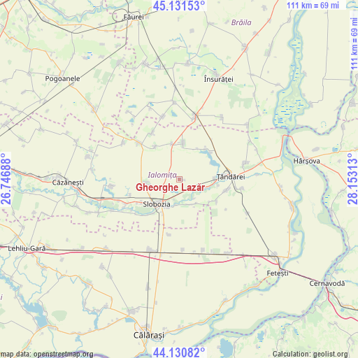
Gheorghe Lazăr GPS coordinates[2]
44° 37' 59.988" North, 27° 27' 0" East
| Map corner | latitude | longitude |
|---|---|---|
| Upper-left | 45.13153°, | 26.74688° |
| Center: | 44.63333°, | 27.45° |
| Lower-right: | 44.13082°, | 28.15313° |
| Map W x H: | 111.3×111.3 km | = 69.2×69.2mi |
| max Lat: | 48.23793° ⇑82% North |
| Gheorghe Lazăr: | 44.63333° |
| min Lat: | ⇓18% South 43.65638° |
| min Long | Gheorghe Lazăr | max Long |
| 20.31667° | 27.45° | 29.65403° |
| W 90.3%⇐ | ⇒9.7% E |
Elevation
Elevation of Gheorghe Lazăr is 27 m = 89 ft, and this is 227.9 m = 748 ft below average elevation for this country.
| Max E: |
1278 m = 4193 ft | 96.4% |
| Avg. | 254.9 m = 836 ft | |
| Gheorghe Lazăr | 27 m = 89 ft | |
Min E: |
-2 m = -7 ft | 3.6% |
See also: Romania elevation on elevation.city.
Geographical zone
Gheorghe Lazăr is located in North temperate zone (between Tropic of Cancer and the Arctic Circle). Distance of this Northern Tropic circle is 2356.8 km =1464.4 mi to South.| Distance of | km | miles | from Gheorghe Lazăr |
|---|---|---|---|
| North Pole | 5044.3 | 3134.4 | to North |
| Arctic Circle | 2438.4 | 1515.2 | to North |
| Tropic Cancer | 2356.8 | 1464.4 | to South |
| Equator | 4962.8 | 3083.7 | to South |


Nearby cities:
15 places around Gheorghe Lazăr: (largest is in red/bold)
• Amara
10.7 km =6.6 mi,  260°
260°
• Bucu
4.6 km =2.9 mi,  132°
132°
• Ciulniţa
13.7 km =8.5 mi,  215°
215°
• Cosâmbeşti
8.3 km =5.2 mi,  188°
188°
• Frățilești
12.4 km =7.7 mi,  99°
99°
• Iazu
11.1 km =6.9 mi,  347°
347°
• Mărculești
9 km =5.6 mi,  144°
144°
• Ograda
9.8 km =6.1 mi, 102°
• Păltinișu
14 km =8.7 mi,  237°
237°
• Scânteia
11.3 km =7 mi,  6°
6°
• Slobozia
10.3 km =6.4 mi, 221°
• Smirna
12.6 km =7.8 mi,  323°
323°
• Sudiţi
13.1 km =8.1 mi,  115°
115°
• Săveni
16.3 km =10.1 mi, 103°
• Valea Ciorii
13.1 km =8.1 mi,  44°
44°
Sources, notices
• [Note1] Compared only with cities in Romania existing in our database
• [Src1] Map data: © OpenStreetMap contributors (CC-BY-SA)
• [Src2] Other city data from geonames.org with taken over terms of usage.
• [Src3] Geographical zone / Annual Mean Temperature by Robert A. Rohde @ Wikipedia
