Frumuşiţa geodata
Frumuşiţa (Galaţi) is a seat of a second-order administrative division; located in Romania in Europe/Bucharest (GMT+3) time zone. With population of 5,206 people, there are 717 cities with bigger population in this country. Compared to other cities in Romania, 52.5% of cities are located further ↑North; 96.9% of cities are located further ←West and 97.7% of cities have higher elevation than Frumuşiţa. Note1


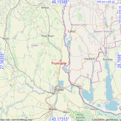
Frumuşiţa GPS coordinates[2]
45° 40' 0.012" North, 28° 4' 0.012" East
| Map corner | latitude | longitude |
|---|---|---|
| Upper-left | 46.15588°, | 27.36355° |
| Center: | 45.66667°, | 28.06667° |
| Lower-right: | 45.17315°, | 28.7698° |
| Map W x H: | 109.3×109.3 km | = 67.9×67.9mi |
| max Lat: | 48.23793° ⇑52.5% North |
| Frumuşiţa: | 45.66667° |
| min Lat: | ⇓47.5% South 43.65638° |
| min Long | Frumuşiţa | max Long |
| 20.31667° | 28.06667° | 29.65403° |
| W 96.9%⇐ | ⇒3.1% E |
Elevation
Elevation of Frumuşiţa is 19 m = 62 ft, and this is 235.9 m = 774 ft below average elevation for this country.
| Max E: |
1278 m = 4193 ft | 97.7% |
| Avg. | 254.9 m = 836 ft | |
| Frumuşiţa | 19 m = 62 ft | |
Min E: |
-2 m = -7 ft | 2.3% |
See also: Romania elevation on elevation.city.
Geographical zone
Frumuşiţa is located in North temperate zone (between Tropic of Cancer and the Arctic Circle). Distance of this North polar circle is 2323.5 km =1443.8 mi to North.| Distance of | km | miles | from Frumuşiţa |
|---|---|---|---|
| North Pole | 4929.4 | 3063 | to North |
| Arctic Circle | 2323.5 | 1443.8 | to North |
| Tropic Cancer | 2471.7 | 1535.8 | to South |
| Equator | 5077.7 | 3155.1 | to South |


Nearby cities:
15 places around Frumuşiţa: (largest is in red/bold)
• Brănești
15.1 km =9.4 mi,  5°
5°
• Chiraftei
12.1 km =7.5 mi,  345°
345°
• Cuca
16.1 km =10 mi,  297°
297°
• Folteşti
9.4 km =5.8 mi, 352°
• Fântânele
6.3 km =3.9 mi,  308°
308°
• Ijdileni
3.6 km =2.2 mi,  191°
191°
• Măstăcani
13.2 km =8.2 mi, 348°
• Odaia Manolache
14.4 km =8.9 mi,  204°
204°
• Scânteiești
6.7 km =4.2 mi,  285°
285°
• Stoicani
4.3 km =2.7 mi, 12°
• Tuluceşti
11.4 km =7.1 mi, 193°
• Tămăoani
1.6 km =1 mi,  24°
24°
• Tătarca
7.6 km =4.7 mi, 188°
• Vânători
15.3 km =9.5 mi, 194°
• Șivița
6 km =3.7 mi, 186°
Sources, notices
• [Note1] Compared only with cities in Romania existing in our database
• [Src1] Map data: © OpenStreetMap contributors (CC-BY-SA)
• [Src2] Other city data from geonames.org with taken over terms of usage.
• [Src3] Geographical zone / Annual Mean Temperature by Robert A. Rohde @ Wikipedia
