Dej geodata
Dej (Cluj) is a seat of a second-order administrative division; located in Romania in Europe/Bucharest (GMT+3) time zone. With population of 38,033 people, there are 60 cities with bigger population in this country. Compared to other cities in Romania, 82.5% of cities are located further ↓South; 71.6% of cities are located further →East and 53.5% of cities have lower elevation than Dej. Note1


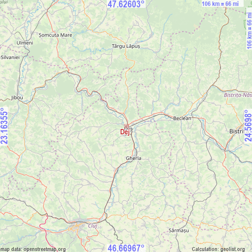
Dej GPS coordinates[2]
47° 9' 0" North, 23° 52' 0.012" East
| Map corner | latitude | longitude |
|---|---|---|
| Upper-left | 47.62603°, | 23.16355° |
| Center: | 47.15°, | 23.86667° |
| Lower-right: | 46.66967°, | 24.5698° |
| Map W x H: | 106.3×106.3 km | = 66.1×66.1mi |
| max Lat: | 48.23793° ⇑17.5% North |
| Dej: | 47.15° |
| min Lat: | ⇓82.5% South 43.65638° |
| min Long | Dej | max Long |
| 20.31667° | 23.86667° | 29.65403° |
| W 28.4%⇐ | ⇒71.6% E |
Elevation
Elevation of Dej is 231 m = 758 ft, and this is 23.9 m = 78 ft below average elevation for this country.
| Max E: |
1278 m = 4193 ft | 46.5% |
| Avg. | 254.9 m = 836 ft | |
| Dej | 231 m = 758 ft | |
Min E: |
-2 m = -7 ft | 53.5% |
See also: Romania elevation on elevation.city.
Geographical zone
Dej is located in North temperate zone (between Tropic of Cancer and the Arctic Circle). Distance of this North polar circle is 2158.6 km =1341.3 mi to North.| Distance of | km | miles | from Dej |
|---|---|---|---|
| North Pole | 4764.5 | 2960.5 | to North |
| Arctic Circle | 2158.6 | 1341.3 | to North |
| Tropic Cancer | 2636.7 | 1638.4 | to South |
| Equator | 5242.6 | 3257.6 | to South |


Nearby cities:
15 places around Dej: (largest is in red/bold)
• Cetan
6.8 km =4.2 mi,  314°
314°
• Ciceu-Mihăiești
9.1 km =5.7 mi,  64°
64°
• Cuzdrioara
4.2 km =2.6 mi, 63°
• Câţcău
8.4 km =5.2 mi, 311°
• Căşeiu
3.7 km =2.3 mi,  0°
0°
• Jichişu de Jos
6.3 km =3.9 mi,  233°
233°
• Mica
5.4 km =3.4 mi,  110°
110°
• Mănăstirea
6.3 km =3.9 mi,  126°
126°
• Mănășturel
6.9 km =4.3 mi,  70°
70°
• Nima
8.2 km =5.1 mi,  178°
178°
• Ocna Dejului
3.8 km =2.4 mi,  188°
188°
• Rugășești
9.1 km =5.7 mi, 3°
• Sălișca
8.2 km =5.1 mi,  336°
336°
• Urișor
2.3 km =1.4 mi,  21°
21°
• Șomcutu Mic
7.9 km =4.9 mi,  279°
279°
Sources, notices
• [Note1] Compared only with cities in Romania existing in our database
• [Src1] Map data: © OpenStreetMap contributors (CC-BY-SA)
• [Src2] Other city data from geonames.org with taken over terms of usage.
• [Src3] Geographical zone / Annual Mean Temperature by Robert A. Rohde @ Wikipedia
