Cotumba geodata
Cotumba (Bacău) is a populated place; located in Romania in Europe/Bucharest (GMT+3) time zone. With population of 1,451 people, there are 3256 cities with bigger population in this country. Compared to other cities in Romania, 67% of cities are located further ↓South; 66.7% of cities are located further ←West and 95.4% of cities have lower elevation than Cotumba. Note1


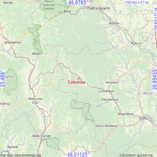
Cotumba GPS coordinates[2]
46° 29' 50.748" North, 26° 11' 28.032" East
| Map corner | latitude | longitude |
|---|---|---|
| Upper-left | 46.9793°, | 25.488° |
| Center: | 46.49743°, | 26.19112° |
| Lower-right: | 46.01125°, | 26.89425° |
| Map W x H: | 107.6×107.6 km | = 66.9×66.9mi |
| max Lat: | 48.23793° ⇑33% North |
| Cotumba: | 46.49743° |
| min Lat: | ⇓67% South 43.65638° |
| min Long | Cotumba | max Long |
| 20.31667° | 26.19112° | 29.65403° |
| W 66.7%⇐ | ⇒33.3% E |
Elevation
Elevation of Cotumba is 640 m = 2100 ft, and this is 385.1 m = 1263 ft above average elevation for this country.
| Max E: |
1278 m = 4193 ft | 4.6% |
| Cotumba | 640 m 2100 ft | |
| Avg. | 254.9 m = 836 ft | |
Min E: |
-2 m = -7 ft | 95.4% |
See also: Romania elevation on elevation.city.
Geographical zone
Cotumba is located in North temperate zone (between Tropic of Cancer and the Arctic Circle). Distance of this North polar circle is 2231.1 km =1386.3 mi to North.| Distance of | km | miles | from Cotumba |
|---|---|---|---|
| North Pole | 4837 | 3005.6 | to North |
| Arctic Circle | 2231.1 | 1386.3 | to North |
| Tropic Cancer | 2564.1 | 1593.3 | to South |
| Equator | 5170 | 3212.5 | to South |


Nearby cities:
15 places around Cotumba: (largest is in red/bold)
• Agăş
2.5 km =1.6 mi,  128°
128°
• Brusturoasa
2.2 km =1.4 mi,  17°
17°
• Camenca
2.2 km =1.4 mi, 17°
• Ciobănuș
12.7 km =7.9 mi,  117°
117°
• Ciugheș
6.1 km =3.8 mi,  296°
296°
• Coșnea
11.5 km =7.1 mi,  230°
230°
• Ghimeş-Făget
13.5 km =8.4 mi,  315°
315°
• Ghimeș
11.1 km =6.9 mi, 315°
• Goioasa
9.9 km =6.2 mi, 124°
• Palanca
7 km =4.3 mi,  305°
305°
• Popoiu
7.5 km =4.7 mi, 311°
• Preluci
8 km =5 mi, 125°
• Păltiniș
13.7 km =8.5 mi,  68°
68°
• Sulța
4.9 km =3 mi, 131°
• Tărhăuși
13.1 km =8.1 mi, 322°
Sources, notices
• [Note1] Compared only with cities in Romania existing in our database
• [Src1] Map data: © OpenStreetMap contributors (CC-BY-SA)
• [Src2] Other city data from geonames.org with taken over terms of usage.
• [Src3] Geographical zone / Annual Mean Temperature by Robert A. Rohde @ Wikipedia
