Comănești geodata
Comănești (Suceava) is a seat of a second-order administrative division; located in Romania in Europe/Bucharest (GMT+3) time zone. With population of 1,299 people, there are 3526 cities with bigger population in this country. Compared to other cities in Romania, 94.4% of cities are located further ↓South; 62.7% of cities are located further ←West and 76.5% of cities have lower elevation than Comănești. Note1


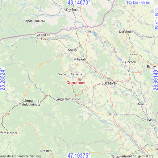
Comănești GPS coordinates[2]
47° 40' 9.804" North, 25° 59' 18.096" East
| Map corner | latitude | longitude |
|---|---|---|
| Upper-left | 48.14073°, | 25.28524° |
| Center: | 47.66939°, | 25.98836° |
| Lower-right: | 47.19375°, | 26.69149° |
| Map W x H: | 105.3×105.3 km | = 65.4×65.4mi |
| max Lat: | 48.23793° ⇑5.6% North |
| Comănești: | 47.66939° |
| min Lat: | ⇓94.4% South 43.65638° |
| min Long | Comănești | max Long |
| 20.31667° | 25.98836° | 29.65403° |
| W 62.7%⇐ | ⇒37.3% E |
Elevation
Elevation of Comănești is 364 m = 1194 ft, and this is 109.1 m = 358 ft above average elevation for this country.
| Max E: |
1278 m = 4193 ft | 23.5% |
| Comănești | 364 m 1194 ft | |
| Avg. | 254.9 m = 836 ft | |
Min E: |
-2 m = -7 ft | 76.5% |
See also: Romania elevation on elevation.city.
Geographical zone
Comănești is located in North temperate zone (between Tropic of Cancer and the Arctic Circle). Distance of this North polar circle is 2100.8 km =1305.4 mi to North.| Distance of | km | miles | from Comănești |
|---|---|---|---|
| North Pole | 4706.7 | 2924.6 | to North |
| Arctic Circle | 2100.8 | 1305.4 | to North |
| Tropic Cancer | 2694.4 | 1674.2 | to South |
| Equator | 5300.3 | 3293.5 | to South |


Nearby cities:
15 places around Comănești: (largest is in red/bold)
• Arbore
8.2 km =5.1 mi,  329°
329°
• Botoşana
3.3 km =2.1 mi,  298°
298°
• Bălăceana
5.3 km =3.3 mi,  123°
123°
• Cacica
7.7 km =4.8 mi,  238°
238°
• Cajvana
3.8 km =2.4 mi, 334°
• Deleni
4.6 km =2.9 mi,  192°
192°
• Gura Solcii
9.2 km =5.7 mi,  30°
30°
• Humoreni
0.5 km =0.3 mi,  231°
231°
• Iaslovăț
10 km =6.2 mi,  355°
355°
• Ilișești
8.2 km =5.1 mi,  145°
145°
• Poieni-Solca
7.3 km =4.5 mi,  284°
284°
• Părhăuți
8.9 km =5.5 mi,  58°
58°
• Părteştii de Jos
4.3 km =2.7 mi,  202°
202°
• Soloneț
3.8 km =2.4 mi, 59°
• Todireşti
4.8 km =3 mi,  44°
44°
Sources, notices
• [Note1] Compared only with cities in Romania existing in our database
• [Src1] Map data: © OpenStreetMap contributors (CC-BY-SA)
• [Src2] Other city data from geonames.org with taken over terms of usage.
• [Src3] Geographical zone / Annual Mean Temperature by Robert A. Rohde @ Wikipedia
