Comăneşti geodata
Comăneşti (Bacău) is a seat of a second-order administrative division; located in Romania in Europe/Bucharest (GMT+3) time zone. With population of 23,729 people, there are 94 cities with bigger population in this country. Compared to other cities in Romania, 65.1% of cities are located further ↓South; 71.4% of cities are located further ←West and 79.2% of cities have lower elevation than Comăneşti. Note1


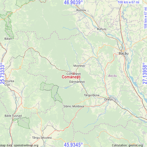
Comăneşti GPS coordinates[2]
46° 25' 16.86" North, 26° 26' 11.22" East
| Map corner | latitude | longitude |
|---|---|---|
| Upper-left | 46.9039°, | 25.73333° |
| Center: | 46.42135°, | 26.43645° |
| Lower-right: | 45.9345°, | 27.13958° |
| Map W x H: | 107.8×107.8 km | = 67×67mi |
| max Lat: | 48.23793° ⇑34.9% North |
| Comăneşti: | 46.42135° |
| min Lat: | ⇓65.1% South 43.65638° |
| min Long | Comăneşti | max Long |
| 20.31667° | 26.43645° | 29.65403° |
| W 71.4%⇐ | ⇒28.6% E |
Elevation
Elevation of Comăneşti is 385 m = 1263 ft, and this is 130.1 m = 427 ft above average elevation for this country.
| Max E: |
1278 m = 4193 ft | 20.8% |
| Comăneşti | 385 m 1263 ft | |
| Avg. | 254.9 m = 836 ft | |
Min E: |
-2 m = -7 ft | 79.2% |
See also: Romania elevation on elevation.city.
Geographical zone
Comăneşti is located in North temperate zone (between Tropic of Cancer and the Arctic Circle). Distance of this North polar circle is 2239.6 km =1391.6 mi to North.| Distance of | km | miles | from Comăneşti |
|---|---|---|---|
| North Pole | 4845.5 | 3010.9 | to North |
| Arctic Circle | 2239.6 | 1391.6 | to North |
| Tropic Cancer | 2555.7 | 1588 | to South |
| Equator | 5161.6 | 3207.3 | to South |


Nearby cities:
15 places around Comăneşti: (largest is in red/bold)
• Apa Asău
8.6 km =5.3 mi,  329°
329°
• Asău
3.1 km =1.9 mi,  295°
295°
• Ciobănuș
8 km =5 mi,  289°
289°
• Dărmăneşti
7.1 km =4.4 mi,  149°
149°
• Găzărie
9.8 km =6.1 mi,  39°
39°
• Lunca Asău
2.4 km =1.5 mi,  308°
308°
• Lăpoș
3.7 km =2.3 mi, 147°
• Moineşti
7.2 km =4.5 mi,  33°
33°
• Plopu
6 km =3.7 mi,  122°
122°
• Podei
1.4 km =0.9 mi,  159°
159°
• Poduri
9 km =5.6 mi,  55°
55°
• Straja
6 km =3.7 mi, 290°
• Valea Arinilor
10.2 km =6.3 mi, 33°
• Valea Șoșii
9.8 km =6.1 mi, 62°
• Vermești
3.1 km =1.9 mi,  89°
89°
Sources, notices
• [Note1] Compared only with cities in Romania existing in our database
• [Src1] Map data: © OpenStreetMap contributors (CC-BY-SA)
• [Src2] Other city data from geonames.org with taken over terms of usage.
• [Src3] Geographical zone / Annual Mean Temperature by Robert A. Rohde @ Wikipedia
