Buta geodata
Buta (Olt) is a populated place; located in Romania in Europe/Bucharest (GMT+3) time zone. With population of 816 people, there are 4966 cities with bigger population in this country. Compared to other cities in Romania, 90.5% of cities are located further ↑North; 57% of cities are located further →East and 70.9% of cities have higher elevation than Buta. Note1


Buta GPS coordinates[2]
44° 18' 29.232" North, 24° 42' 34.956" East
| Map corner | latitude | longitude |
|---|---|---|
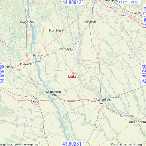
| Upper-left | 44.80912°, | 24.00659° |
| Center: | 44.30812°, | 24.70971° |
| Lower-right: | 43.80281°, | 25.41284° |
| Map W x H: | 111.9×111.9 km | = 69.5×69.5mi |
| max Lat: | 48.23793° ⇑90.5% North |
| Buta: | 44.30812° |
| min Lat: | ⇓9.5% South 43.65638° |
| min Long | Buta | max Long |
| 20.31667° | 24.70971° | 29.65403° |
| W 43%⇐ | ⇒57% E |
Elevation
Elevation of Buta is 124 m = 407 ft, and this is 130.9 m = 429 ft below average elevation for this country.
| Max E: |
1278 m = 4193 ft | 70.9% |
| Avg. | 254.9 m = 836 ft | |
| Buta | 124 m = 407 ft | |
Min E: |
-2 m = -7 ft | 29.1% |
See also: Romania elevation on elevation.city.
Geographical zone
Buta is located in North temperate zone (between Tropic of Cancer and the Arctic Circle). Distance of this Northern Tropic circle is 2320.7 km =1442 mi to South.| Distance of | km | miles | from Buta |
|---|---|---|---|
| North Pole | 5080.5 | 3156.9 | to North |
| Arctic Circle | 2474.6 | 1537.6 | to North |
| Tropic Cancer | 2320.7 | 1442 | to South |
| Equator | 4926.6 | 3061.2 | to South |


Nearby cities:
15 places around Buta: (largest is in red/bold)
• Bacea
11.5 km =7.1 mi,  330°
330°
• Barza
6.5 km =4 mi,  64°
64°
• Crâmpoia
2.9 km =1.8 mi,  103°
103°
• Floru
8.4 km =5.2 mi,  26°
26°
• Ghimpețeni
6 km =3.7 mi,  120°
120°
• Ghimpețenii Noi
6.6 km =4.1 mi, 98°
• Ghioca
2.1 km =1.3 mi, 63°
• Icoana
12.1 km =7.5 mi,  2°
2°
• Movileni
8.1 km =5 mi,  323°
323°
• Nicolae Titulescu
7.2 km =4.5 mi, 97°
• Stoborăști
7.1 km =4.4 mi, 58°
• Tufeni
8.8 km =5.5 mi,  41°
41°
• Văleni
10.2 km =6.3 mi,  144°
144°
• Şerbăneşti
2.9 km =1.8 mi,  344°
344°
• Șerbăneștii de Sus
3.8 km =2.4 mi, 326°
Sources, notices
• [Note1] Compared only with cities in Romania existing in our database
• [Src1] Map data: © OpenStreetMap contributors (CC-BY-SA)
• [Src2] Other city data from geonames.org with taken over terms of usage.
• [Src3] Geographical zone / Annual Mean Temperature by Robert A. Rohde @ Wikipedia
