Bogdănești geodata
Bogdănești (Vâlcea) is a populated place; located in Romania in Europe/Bucharest (GMT+3) time zone. With population of 788 people, there are 5107 cities with bigger population in this country. Compared to other cities in Romania, 63.8% of cities are located further ↑North; 68.8% of cities are located further →East and 84.3% of cities have lower elevation than Bogdănești. Note1


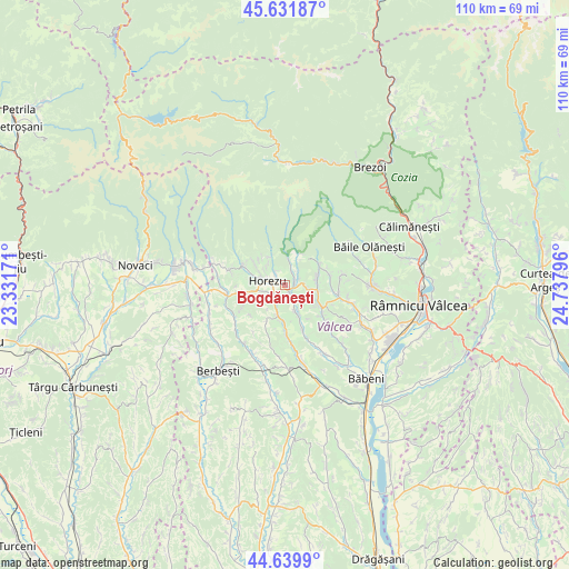
Bogdănești GPS coordinates[2]
45° 8' 16.944" North, 24° 2' 5.388" East
| Map corner | latitude | longitude |
|---|---|---|
| Upper-left | 45.63187°, | 23.33171° |
| Center: | 45.13804°, | 24.03483° |
| Lower-right: | 44.6399°, | 24.73796° |
| Map W x H: | 110.3×110.3 km | = 68.5×68.5mi |
| max Lat: | 48.23793° ⇑63.8% North |
| Bogdănești: | 45.13804° |
| min Lat: | ⇓36.2% South 43.65638° |
| min Long | Bogdănești | max Long |
| 20.31667° | 24.03483° | 29.65403° |
| W 31.2%⇐ | ⇒68.8% E |
Elevation
Elevation of Bogdănești is 438 m = 1437 ft, and this is 183.1 m = 601 ft above average elevation for this country.
| Max E: |
1278 m = 4193 ft | 15.7% |
| Bogdănești | 438 m 1437 ft | |
| Avg. | 254.9 m = 836 ft | |
Min E: |
-2 m = -7 ft | 84.3% |
See also: Romania elevation on elevation.city.
Geographical zone
Bogdănești is located in North temperate zone (between Tropic of Cancer and the Arctic Circle). Distance of this North polar circle is 2382.3 km =1480.3 mi to North.| Distance of | km | miles | from Bogdănești |
|---|---|---|---|
| North Pole | 4988.2 | 3099.5 | to North |
| Arctic Circle | 2382.3 | 1480.3 | to North |
| Tropic Cancer | 2413 | 1499.4 | to South |
| Equator | 5018.9 | 3118.6 | to South |


Nearby cities:
15 places around Bogdănești: (largest is in red/bold)
• Bistrița
5.4 km =3.4 mi,  4°
4°
• Bodești
6.3 km =3.9 mi,  86°
86°
• Băltățeni
6.4 km =4 mi,  156°
156°
• Bărbăteşti
8.2 km =5.1 mi,  51°
51°
• Costeşti
2.8 km =1.7 mi,  61°
61°
• Foleștii de Sus
5.2 km =3.2 mi, 157°
• Horezu
1.9 km =1.2 mi,  313°
313°
• Măldăreşti
3.6 km =2.2 mi,  228°
228°
• Măldăreștii de Jos
3.7 km =2.3 mi,  202°
202°
• Negrulești
4.3 km =2.7 mi,  100°
100°
• Oteşani
7.9 km =4.9 mi,  180°
180°
• Pietrarii de Sus
5.2 km =3.2 mi,  117°
117°
• Pietreni
6 km =3.7 mi,  23°
23°
• Tomşani
2.7 km =1.7 mi,  153°
153°
• Vaideeni
8.6 km =5.3 mi,  291°
291°
Sources, notices
• [Note1] Compared only with cities in Romania existing in our database
• [Src1] Map data: © OpenStreetMap contributors (CC-BY-SA)
• [Src2] Other city data from geonames.org with taken over terms of usage.
• [Src3] Geographical zone / Annual Mean Temperature by Robert A. Rohde @ Wikipedia
